Near Marengo in Morrow County, Ohio — The American Midwest (Great Lakes)
History of Alum Creek Friends Settlement / Alum Creek Friends and the Underground Railroad
— Historic Underground Railroad Site —
Inscription.
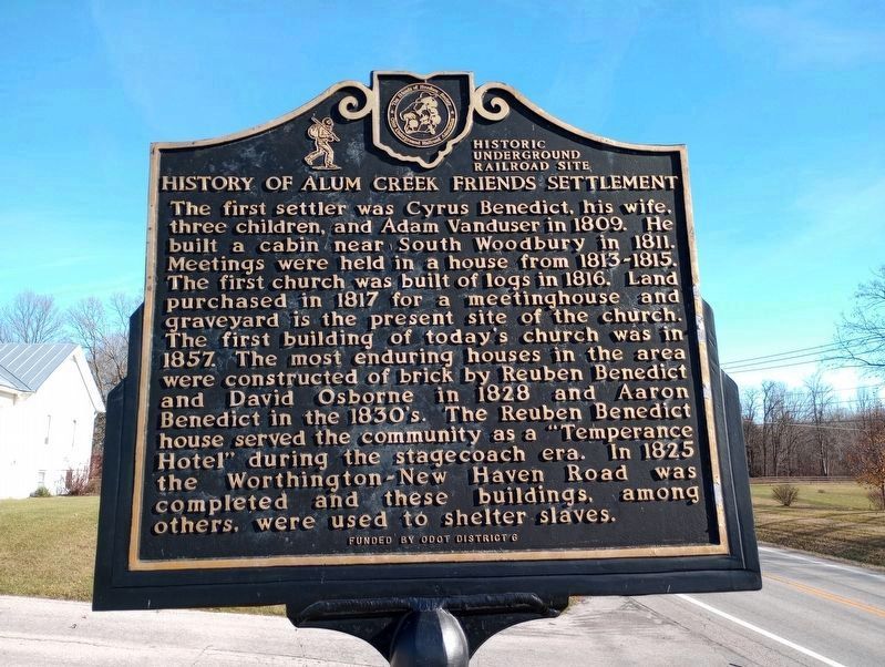
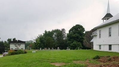
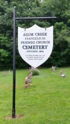
History of Alum Creek Friends Settlement. The first settler was Cyrus Benedict, his wife, three children, and Adam Vanduser in 1809. He built a cabin near South Woodbury in 1811. Meetings were held in a house from 1813 – 1815. The first church was built of logs in 1816. Land purchased in 1817 for a meeting house and graveyard is the present site of the church. The first building of today’s church was in 1857. The most enduring houses in the area were constructed of brick by Reuben Benedict and David Osborne in 1828 and Aaron Benedict in the 1830’s. The Reuben Benedict house served the community as “Temperance Hotel” during the stagecoach era. In 1825 the Worthington-New Haven Road was completed and these buildings, among others were used to shelter slaves.
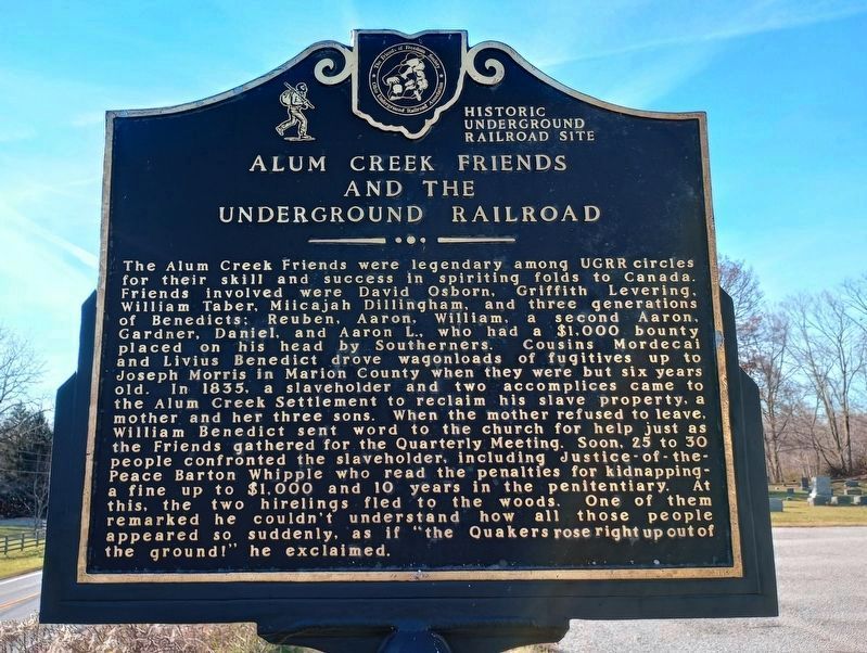
Alum Creek Friends and the Underground Railroad. The Alum Creek Friends were legendary among UGRR circles for their skill and success in spiriting folds to Canada. Friends involved were David Osbourne, Griffith Levering, William Taber, Miicajah Dillingham, and three generations of Benedicts; Reuben, Aaron,William, a second Aaron, Gardner, Daniel, Aaron L., who had a $1,000 bounty placed on hius head by Southerners. Cousins Mordecai and Livius Benedict drove wagonloads of fugitives up to Joseph Morris in Marion County when they were but six years old. In 1835, a slaveholder and two accomplices came to the Alum Creek Settlement to reclaim his slave property, a mother and her three sons. When the mother refused to leave, William Benedict sent word to the church for help just as the Friends gathered for the Quarterly Meeting. Soon, 25-30 people confronted the slaveholder, including Justice-of-the-Peace Barton Whipple who read the penalties for kidnapping-a fine up to $1000 and 10 years in the penitentiary. At this, the two hirelings fled into the woods. One of them remarked he couldn’t understand how all these people appeared so suddenly, as if “the Quakers rose right up out of the ground!” he exclaimed.
Erected by ODOT District 6 the Friends of Freedom Society; Ohio Underground Railroad Association.
Topics. This historical marker is listed in these topic lists: Abolition & Underground RR • Cemeteries & Burial Sites • Churches & Religion. A significant historical year for this entry is 1809.
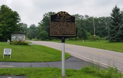
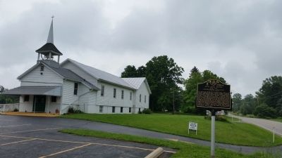
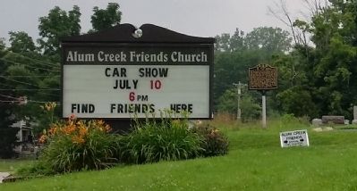
Location. 40° 24.369′ N, 82° 51.57′ W. Marker is near Marengo, Ohio, in Morrow County. Marker is on Marengo- Norton Road (Ohio Route 229), on the right when traveling west. Marker is in front of church and cemetery, north side, between Co Rd 24, and Rd 218. Touch for map. Marker is at or near this postal address: 3385 Marengo- Norton Road, Marengo OH 43334, United States of America. Touch for directions.
Other nearby markers. At least 8 other markers are within
8 miles of this marker, measured as the crow flies. Marengo Veterans Memorial (approx. 2.7 miles away); Pagetown (approx. 3.4 miles away); Welch House (approx. 5 miles away); "Historic Ashley" (approx. 5 miles away); History of Maxwell Park (approx. 6.7 miles away); Cardington Veterans Memorial (approx. 6.8 miles away); "The Eden Bell" (approx. 7.4 miles away); Brown Township Hall Veterans Memorial Grove (approx. 7.4 miles away).
Additional keywords. Underground Railroad
Credits. This page was last revised on December 29, 2023. It was originally submitted on July 10, 2015, by Rev. Ronald Irick of West Liberty, Ohio. This page has been viewed 1,335 times since then and 113 times this year. Photos: 1, 2. submitted on November 26, 2023, by Craig Doda of Napoleon, Ohio. 3, 4, 5, 6, 7. submitted on July 10, 2015, by Rev. Ronald Irick of West Liberty, Ohio. • Bill Pfingsten was the editor who published this page.
