Portsmouth in Rockingham County, New Hampshire — The American Northeast (New England)
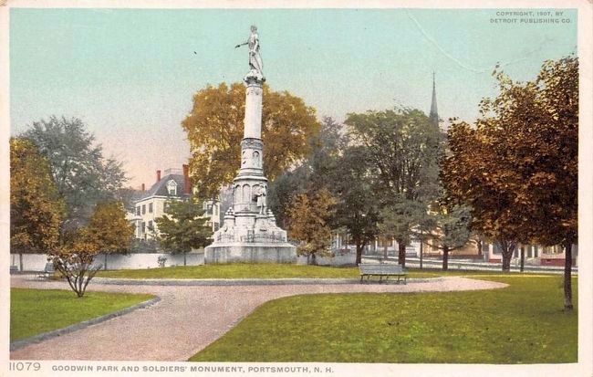
Soldiers and Sailors Monument
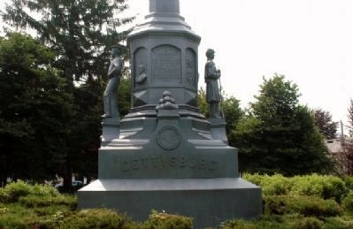
Gettysburg
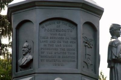
In honor of the men
of
Portsmouth
who gave
their services on the
land and on the sea
in the war which
preserved the Union
of the States this
monument is erected
by grateful citizens.
1888.
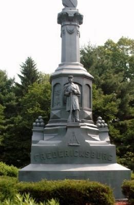
(east face)
Fredericksburg
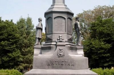
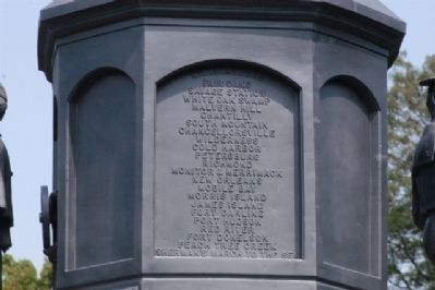
(south face)
Antietam
Williamsburg
Fair Oaks
Savage Station
White Oak Swamp
Malvern Hill
Chantilly
South Mountain
Chancellorsville
Wilderness
Cold Harbor
Petersburg
Richmond
Monitor & Merrimack
New Orleans
Mobile Bay
Morris Island
James Island
Fort Darling
Port Hudson
Red River
Fort Donelson
Peach Tree Creek
Sherman’s March to the Sea
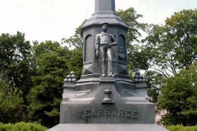
(west face)
Kearsarge
Erected 1888 by Citizens of Portsmouth.
Topics. This monument and memorial is listed in this topic list: War, US Civil.
Location. 43° 4.394′ N, 70° 45.915′ W. Marker is in Portsmouth, New Hampshire, in Rockingham County. Memorial is on Islington Street east of Cabot Street, on the right when traveling east . Monument is located in Goodwin Park. Touch for map. Marker is in this post office area: Portsmouth NH 03801, United States of America. Touch for directions.
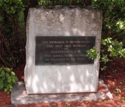
Other nearby markers. At least 8 other markers are within walking distance of this marker. Spanish American War Memorial (a few steps from this marker); New Hampshire's First Black Church (approx. 0.2 miles away); The Continental Frigate "Raleigh" (approx. ¼ mile away); In This House Admiral (John) Paul Jones Resided (approx. ¼ mile away); John Paul Jones House (approx. 0.3 miles away); Portsmouth NH World War II Marker (approx. 0.3 miles away); Frank Jones's Hotels (approx. 0.3 miles away); African Burying Ground Memorial (approx. 0.3 miles away). Touch for a list and map of all markers in Portsmouth.
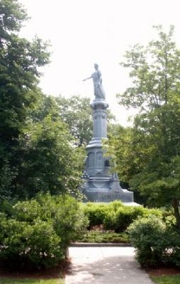
More about this monument. The monument featured life-sized statues of a soldier & sailor, Lady Liberty mounted on a pedestal, cannon balls, a parrot gun, crossed swords, the GAR badge, the city seal, the NH state badge, the US coat of arms, a relief busts of Lincoln and Gov. Goodwin, pictures of the USS Kearsage and CSS Alabama. By 1955 a section of the eroded pedestal was removed. Over the years, vandals have broken an anchor, stolen cannonballs, and damaged the bas-relief busts.
Credits. This page was last revised on November 3, 2020. It was originally submitted on July 13, 2015, by James R. Murray of Elkton, Florida. This page has been viewed 527 times since then and 51 times this year. Photos: 1, 2, 3, 4, 5, 6, 7, 8. submitted on July 13, 2015, by James R. Murray of Elkton, Florida. 9. submitted on September 19, 2015. • Bernard Fisher was the editor who published this page.
