Farmington in Oakland County, Michigan — The American Midwest (Great Lakes)
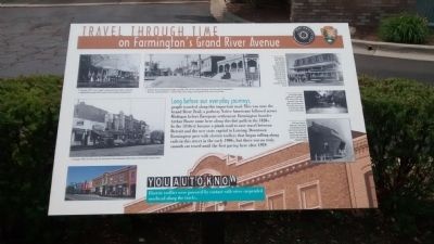
Travel Through Time
on Farmington's Grand River Avenue
Inscription.
Long before our everyday journeys,
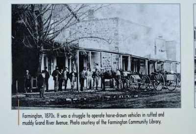
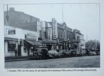
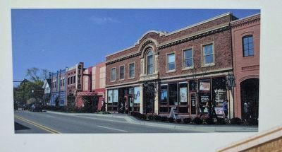
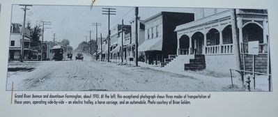
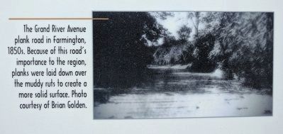
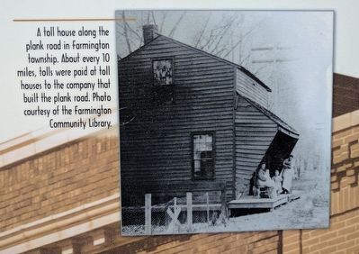
people traveled along this important road. This was once the Grand River Trail, a pathway Native Americans followed across Michigan before European settlement. Farmington founder Arthur Power came here along this dirt path in the 1820s. In the 1850s it became a plank road to ease travel between Detroit and the new state capital in Lansing. Downtown Farmington grew with electric trolleys that began rolling along rails in this street in the early 1900s, but there was no truly smooth car travel until the first paving here after 1929.
You Auto Know
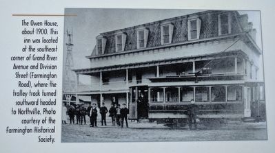
Electric trolleys were powered by contact with wires suspended overhead along the tracks.
Erected by MotorCities National Heritage Area, National Park Service.
Topics and series. This historical marker is listed in this topic list: Roads & Vehicles. In addition, it is included in the MotorCities National Heritage Area series list. A significant historical year for this entry is 1929.
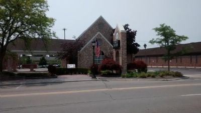
Location. 42° 27.838′ N, 83° 22.475′ W. Marker is in Farmington, Michigan, in Oakland County. Marker is at the intersection of Grand River Avenue and Warner Street, on the left when traveling west on Grand River Avenue. Marker is in front of Talmer Bank and Trust. Touch for map. Marker is at or near this postal address: 33205 Grand River Avenue, Farmington MI 48336, United States of America. Touch for directions.
Other nearby markers. At least 8 other markers are within walking distance of this marker. Methodist Episcopal Church (within shouting distance of this marker); Heeney-Sundquist Funeral Home, Inc. (about 700 feet away, measured in a direct line); Farmington Masonic Temple and Farmington Township Hall (about 800 feet away); First Quaker Meeting (approx. 0.2 miles away); Farmington's First Post Office (approx. ¼ mile away); The Village Center (approx. ¼ mile away); The Potawatomi Indians of Farmington (approx. ¼ mile away); City of Farmington (approx. ¼ mile away). Touch for a list and map of all markers in Farmington.
Photographed By Joel Seewald, June 3, 2017
6. Upper Right Image
The Owen House, about 1900. This inn was located at the southeast corner of Grand River Avenue and Division Street (Farmington Road), where the trolley track turned southward headed to Northville. Photo courtesy of the Farmington Historical Society.
Credits. This page was last revised on July 19, 2018. It was originally submitted on July 14, 2015, by Joel Seewald of Madison Heights, Michigan. This page has been viewed 629 times since then and 35 times this year. Photos: 1. submitted on July 14, 2015, by Joel Seewald of Madison Heights, Michigan. 2, 3, 4. submitted on June 8, 2017, by Joel Seewald of Madison Heights, Michigan. 5, 6, 7. submitted on July 17, 2017, by Joel Seewald of Madison Heights, Michigan. 8. submitted on July 19, 2017, by Joel Seewald of Madison Heights, Michigan. 9. submitted on July 14, 2015, by Joel Seewald of Madison Heights, Michigan. • Bill Pfingsten was the editor who published this page.
