Keene in Cheshire County, New Hampshire — The American Northeast (New England)
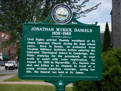
Jonathan Myrick Daniels
1939 - 1965
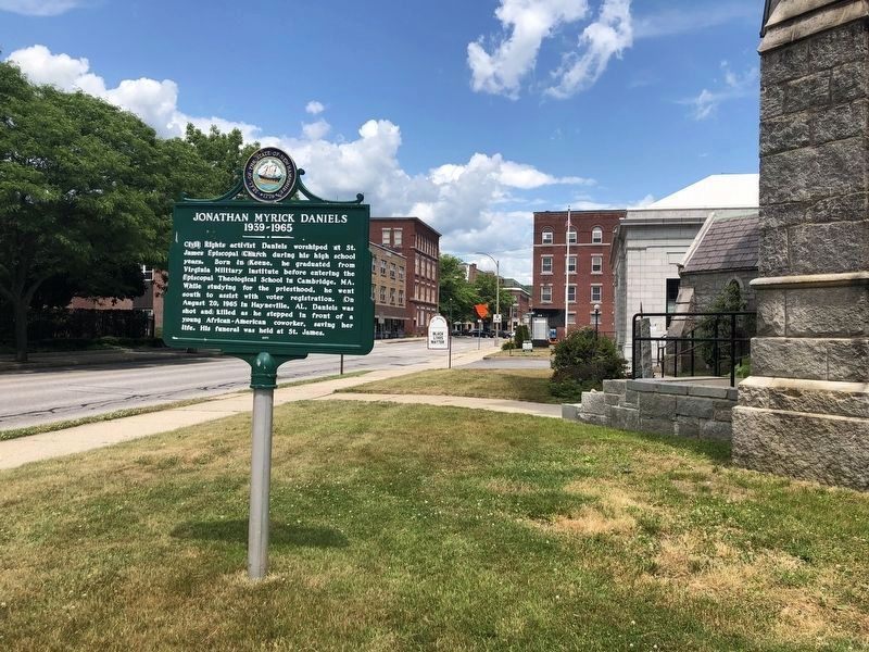
Civil Rights activist Daniels worshiped at St. James Episcopal Church during his high school years. Born in Keene, he graduated from Virginia Military Institute before entering the Episcopal Theological School in Cambridge, MA. While studying for the priesthood, he went south to assist with voter registration. On August 20, 1965 in Hayneville, AL, Daniels was shot and killed as he stepped in front of a young African-American coworker, saving her life. His funeral was held at St. James.
Erected 2011 by New Hampshire Division of Historical Resources. (Marker Number 226.)
Topics and series. This historical marker is listed in these topic lists: African Americans • Charity & Public Work • Churches & Religion • Civil Rights. In addition, it is included in the New Hampshire Historical Highway Markers series list. A significant historical year for this entry is 1965.
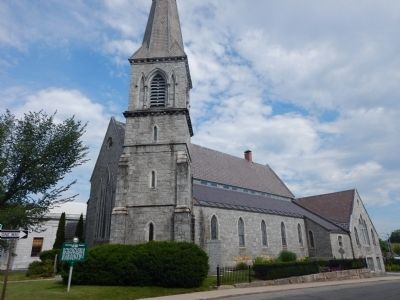
Location. 42° 56′ N, 72° 16.82′ W. Marker is in Keene, New Hampshire, in Cheshire County. Marker is at the intersection of West Street and St. James Street, on the right when traveling east on West Street. Marker is located on front lawn of St. James Episcopal Church. Touch for map. Marker is at or near this postal address: 44 West Street, Keene NH 03431, United States of America. Touch for directions.
Other nearby markers. At least 8 other markers are within walking distance of this marker. Deacon Josiah Fisher (within shouting distance of this marker); Civil War Memorial (about 500 feet away, measured in a direct line); Keene Remembers (about 500 feet away); The Railroad (about 600 feet away); The United Church of Christ in Keene (about 600 feet away); Barry Faulkner, Muralist (about 700 feet away); Magical History Tour (about 700 feet away); Industrial Heritage Trail (approx. 0.2 miles away). Touch for a list and map of all markers in Keene.
Also see . . . Wikipedia - Jonathan Daniels. (Submitted on July 21, 2015, by Kevin Craft of Bedford, Quebec.)
Credits. This page was last revised on June 25, 2020. It was originally submitted on July 21, 2015, by Kevin Craft of Bedford, Quebec. This page has been viewed 867 times since then and 24 times this year. Photos: 1. submitted on July 21, 2015, by Kevin Craft of Bedford, Quebec. 2. submitted on June 25, 2020, by Devry Becker Jones of Washington, District of Columbia. 3. submitted on July 21, 2015, by Kevin Craft of Bedford, Quebec. • Bill Pfingsten was the editor who published this page.


