Watford City in McKenzie County, North Dakota — The American Midwest (Upper Plains)
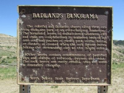
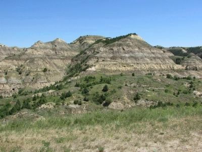
Badlands Panorama
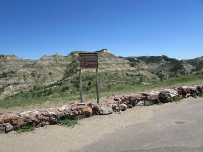
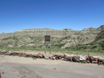
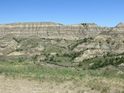
The colorful and fantastic shapes along these canyon walls are part of an ever-changing landscape. The horizontal layers of multi-colored sandstone, clay and shale are complimented by scattered beds of lignite coal and patches of pastel pink scoria. Scoria, or clinker, is created when the soft lignite burns, baking the surrounding clay to this bright color.
Other layers contain concentrations of petrified logs and stumps of redwood, cypress and cedar. The rock layers are easily eroded, thus the scene is constantly changing.
Erected by North Dakota State Highway Department.
Topics. This historical marker is listed in this topic list: Natural Features.
Location. 47° 34.225′ N, 103° 14.243′ W. Marker is in Watford City, North Dakota, in McKenzie County. Marker is on Theodore Roosevelt Expressway (U.S. 85), on the right when traveling north. Touch for map. Marker is in this post office area: Watford City ND 58854, United States of America. Touch for directions.
Other nearby markers. At least 8 other markers are within 7 miles of this marker, measured as the crow flies. Walter H. Chaloner (approx. 2.1 miles away); Longhorns (approx. 2.8 miles away); Slump Formation (approx. 3.4 miles away); “Cannon Ball” Concretions (approx. 4.8 miles away); Long X Cattle Trail (approx. 5˝ miles away); North Dakota Badlands (approx. 5.7 miles away); The View that Launched a Park (approx. 7.1 miles away); Building From Hard Times (approx. 7.1 miles away). Touch for a list and map of all markers in Watford City.
Credits. This page was last revised on June 16, 2016. It was originally submitted on July 21, 2015, by Bill Coughlin of Woodland Park, New Jersey. This page has been viewed 353 times since then and 10 times this year. Photos: 1, 2, 3, 4, 5. submitted on July 21, 2015, by Bill Coughlin of Woodland Park, New Jersey.
