Opelousas in St. Landry Parish, Louisiana — The American South (West South Central)
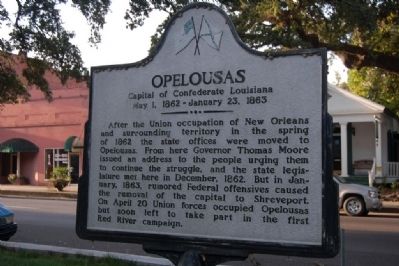
Opelousas
Capital of Confederate Louisiana
— May 1, 1862 - January 23, 1863 —
Topics. This historical marker is listed in this topic list: War, US Civil. A significant historical month for this entry is January 1863.
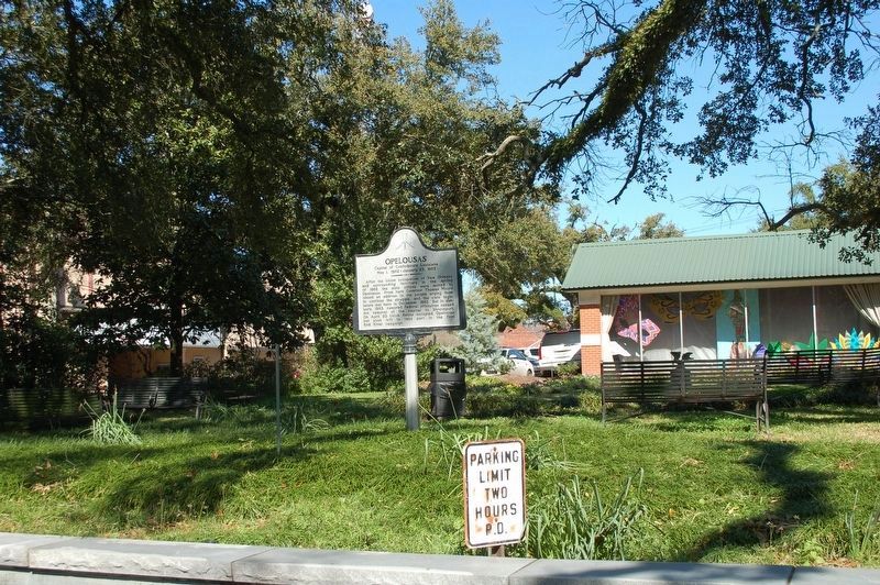
Location. 30° 32.002′ N, 92° 5.034′ W. Marker is in Opelousas, Louisiana, in St. Landry Parish. Marker is on Ronald Reagan Highway (U.S. 190) west of South Court Street, on the right when traveling west. In the Parish Courthouse Square. Touch for map. Marker is in this post office area: Opelousas LA 70570, United States of America. Touch for directions.
Other nearby markers. At least 8 other markers are within walking distance of this marker. Jim Bowie Oak (within shouting distance of this marker); a different marker also named Opelousas (within shouting distance of this marker); Delta Theater (within shouting distance of this marker); Let Freedom Ring (within shouting distance of this marker); Old Federal Building (about 300 feet away, measured in a direct line); Manon's Corner (about 300 feet away); Old Lacombe Hotel Site (about 300 feet away); Shute's Drug Store (about 300 feet away). Touch for a list and map of all markers in Opelousas.
Credits. This page was last revised on February 25, 2024. It was originally submitted on July 21, 2015. This page has been viewed 495 times since then and 16 times this year. Photos: 1. submitted on July 21, 2015. 2. submitted on February 21, 2020, by Cajun Scrambler of Assumption, Louisiana. • Bernard Fisher was the editor who published this page.

