Near Tensaw in Baldwin County, Alabama — The American South (East South Central)
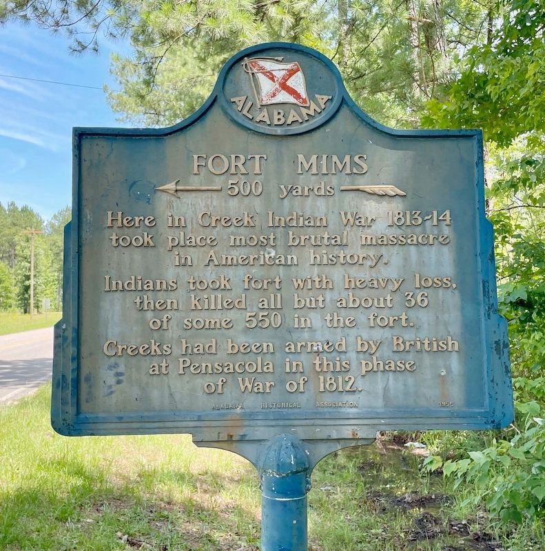
Fort Mims
« 500 yards —
Photographed by Mark Hilton, May 28, 2024
1. Fort Mims Marker
took place most brutal massacre
in American history.
Indians took fort with heavy loss,
then killed all but about 36
of some 550 in the fort.
Creeks had been armed by British
at Pensacola in this phase
of War of 1812.
Erected 1955 by the Alabama Historical Association.
Topics and series. This historical marker is listed in these topic lists: Forts and Castles • Wars, US Indian. In addition, it is included in the Alabama Historical Association series list. A significant historical year for this entry is 1812.
Location. 31° 10.584′ N, 87° 50.156′ W. Marker is near Tensaw, Alabama, in Baldwin County. It is at the intersection of Boatyard Road (County Road 80) and Fort Mims Road, on the left when traveling west on Boatyard Road. Touch for map. Marker is at or near this postal address: 10961 Boatyard Rd, Stockton AL 36579, United States of America. Touch for directions.

Regionally, this marker is on the Gulf Coast and in the Mobile Bay area. It is also in the American South, specifically in the Deep South, and on the Gulf Coast. Globally, it is in North America, a Gulf of
this page online
Other nearby markers. At least 8 other markers are within walking distance of this marker: Boatyard Landing and Aaron Burr Spring / Peirce's School and Mill (approx. 0.2 miles away); Fort Mims And The Creek Indian War, 1813-14 (approx. ¼ mile away); The South Wall (approx. ¼ mile away); War in the Tensaw, 1813 (approx. ¼ mile away); The Blockhouse (approx. ¼ mile away); Fort Mims Massacre (approx. 0.3 miles away); The Battle of Fort Mims (approx. 0.3 miles away); Wells (approx. 0.3 miles away). Touch for a list and map of all markers in Tensaw.
Related marker. Click here for another marker that is related to this marker.
Also see . . .
1. Fort Mims Battle and Massacre. Encyclopedia of Alabama website entry (Submitted on July 27, 2015, by Mark Hilton of Montgomery, Alabama.)
2. History of Fort Mims. From the Fort Mims
Photographed by Mark Hilton, July 25, 2015
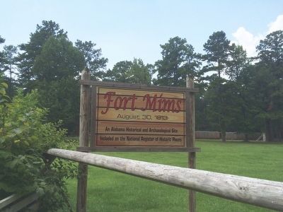
2. Fort Mims entrance sign
Photographed by Mark Hilton, July 25, 2015
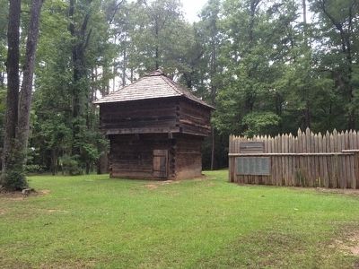
3. Fort Mims blockhouse and stockade recreation.
Photographed by Mark Hilton, July 25, 2015
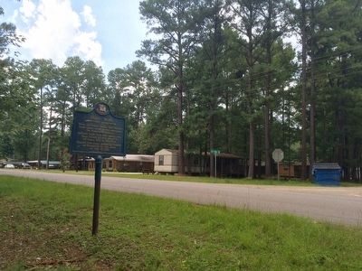
4. Wide view of marker area.
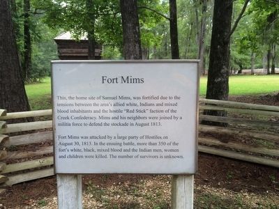
Photographed by Mark Hilton, July 25, 2015
5. Former homesite of Samuel Mims.
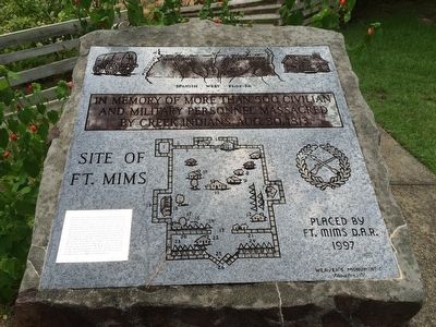
Photographed by Mark Hilton, July 25, 2015
6. Fort Mims Map
Credits. This page was last revised on May 28, 2024. It was originally submitted on July 27, 2015, by Mark Hilton of Montgomery, Alabama. This page has been viewed 1,552 times since then and 91 times this year. Photos: 1. submitted on May 28, 2024, by Mark Hilton of Montgomery, Alabama. 2, 3, 4, 5, 6. submitted on July 27, 2015, by Mark Hilton of Montgomery, Alabama.
