Fredericksburg, Virginia — The American South (Mid-Atlantic)
The Original Wall
The Battle of Fredericksburg
— Fredericksburg and Spotsylvania National Military Park —
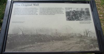
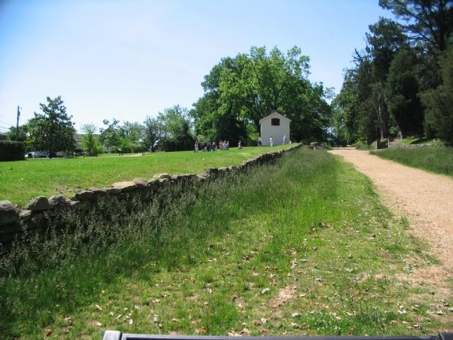
Standing here you can clearly see how the Sunken Road got its name. Cut into the base of Marye's Heights, the roadbed sits several feet below the grade of the surrounding hill slope. Stone retaining walls on either side of the road hold the banks in place. When the Confederate army arrived here in November 1862, it found a ready-made breastwork behind which to fight.
At the time of the battle, the stone wall stretched for more than 500 yards along the eastern (left) side of the road. After the Civil War, however, large sections were removed. Today just this one-block remnant of original wall remains. Please help the National Park Service preserve this original section of the stone wall by not touching or approaching it.
Erected by National Park Service, U.S. Department of the Interior.
Topics. This historical marker is listed in this topic list: War, US Civil. A significant historical month for this entry is November 1862.
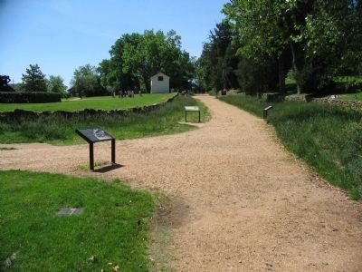
Location. 38° 17.793′ N, 77° 28.115′ W. Marker is in Fredericksburg, Virginia. Marker is at the intersection of Sunken Road and Hanover Street, on the left when traveling north on Sunken Road. Located on the Sunken Road walking trail, which starts at the Fredericksburg battlefield visitor center. The Sunken Road is closed to vehicle traffic. Touch for map. Marker is in this post office area: Fredericksburg VA 22401, United States of America. Touch for directions.
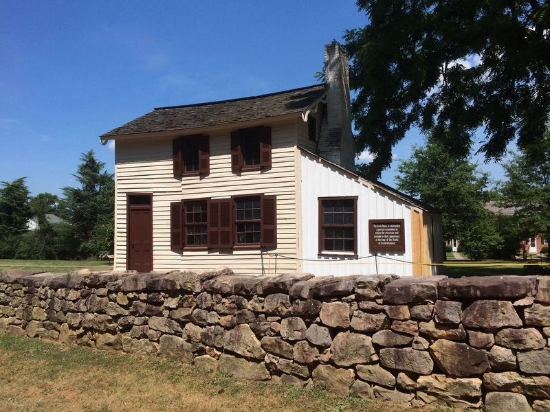
Other nearby markers. At least 8 other markers are within walking distance of this marker. Brompton (a few steps from this marker); The Ebert House and Store (a few steps from this marker); Kirkland Monument (within shouting distance of this marker); Sunken Road (within shouting distance of this marker); The "Angel of Marye's Heights" (within shouting distance of this marker); Seeking Cover (within shouting distance of this marker); The Killing Fields (within shouting distance of this marker); Battle of Fredericksburg (within shouting distance of this marker). Touch for a list and map of all markers in Fredericksburg.
More about this marker. The background of the marker is a photo of The Sunken Road with the Innis House in the background, about 1865-1866. On the upper right is a drawing of Confederate riflemen in the Sunken Road. By battle's end, the Confederates in the road stood four ranks deep.
Also see . . . Sunken Road Tour. Virtual tour of the Sunken Road. (Submitted on June 29, 2008, by Craig Swain of Leesburg, Virginia.)
Credits. This page was last revised on June 29, 2023. It was originally submitted on June 29, 2008, by Craig Swain of Leesburg, Virginia. This page has been viewed 2,384 times since then and 51 times this year. Photos: 1, 2, 3. submitted on June 29, 2008, by Craig Swain of Leesburg, Virginia. 4. submitted on July 24, 2016, by J. Makali Bruton of Accra, Ghana.


