Fredericksburg, Virginia — The American South (Mid-Atlantic)
The Ebert House and Store
The Battle of Fredericksburg
— Fredericksburg and Spotsylvania National Military Park —
Inscription.
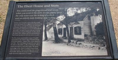
You could smell the gingerbread and candy when you went into the store. It was utterly quiet, the only noise was the ticking of a clock...and an elderly lady knitting and rocking.
A local resident
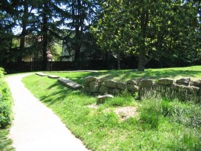
On this corner stood the home of the Ebert family, Henry and Sophia Ebert emigrated from Prussia in the 1840s, joining a growing and prospering community of German entrepreneurs in Fredericksburg. The Eberts opened a small grocery store in their home on this corner, catering to travelers entering or leaving Fredericksburg along the Telegraph (Sunken) Road. The Eberts, their children, and their grandchildren lived in and operated the store for nearly 100 years.
The Ebert house stood amidst a cluster of middle-class homes on the western edge of Fredericksburg. All of these families - Sisson, Ebert, Innis, Stephens, and Hall - lived lives largely disrupted by war. Before the battle on December 13, 1862, Confederate officers ordered the Eberts to leave their home. The family took refuge at Mrs. Ebert's brother's house several miles west of town. They returned days later to find dead bodies "all over the property" and their home badly scarred by eight hours of combat.
Erected by National Park Service, U.S. Department of the Interior.
Topics. This historical marker is listed in this topic list: War, US Civil. A significant historical month for this entry is December 1726.
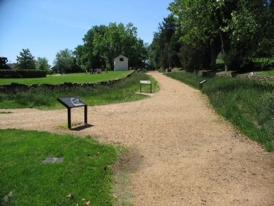
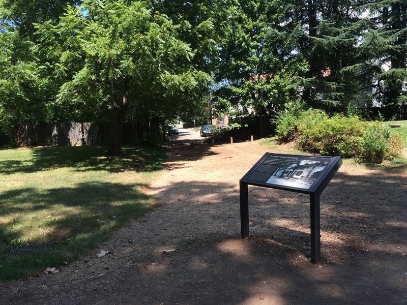
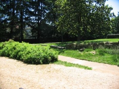
Location. 38° 17.803′ N, 77° 28.118′ W. Marker is in Fredericksburg, Virginia. Marker is at the intersection of Sunken Road and Hanover Street, on the right when traveling north on Sunken Road. Located on the Sunken Road walking trail, which starts at the Fredericksburg battlefield visitor center. The Sunken Road is closed to vehicle traffic. Touch for map. Marker is in this post office area: Fredericksburg VA 22401, United States of America. Touch for directions.
Other nearby markers. At least 8 other markers are within walking distance of this marker. The Original Wall (a few steps from this marker); Brompton (within shouting distance of this marker); Kirkland Monument (within shouting distance of this marker); Battle of Fredericksburg (within shouting distance of this marker); Sunken Road (within shouting distance of this marker); The "Angel of Marye's Heights" (within shouting distance of this marker); 1822 (within shouting distance of this marker); Seeking Cover (about 300 feet away, measured in a direct line). Touch for a list and map of all markers in Fredericksburg.
More about this marker. On the right side of the marker is a photo of The Ebert House as it appeared in 1927. The Ebert family owned the house into the 1930s. It stood until the 1950s.
Also see . . .
Sunken Road Tour. A virtual tour of the Sunken Road and vicinity. (Submitted on June 29, 2008, by Craig Swain of Leesburg, Virginia.)
Credits. This page was last revised on February 2, 2023. It was originally submitted on June 29, 2008, by Craig Swain of Leesburg, Virginia. This page has been viewed 2,195 times since then and 57 times this year. Photos: 1, 2. submitted on June 29, 2008, by Craig Swain of Leesburg, Virginia. 3. submitted on July 24, 2016, by J. Makali Bruton of Accra, Ghana. 4, 5. submitted on June 29, 2008, by Craig Swain of Leesburg, Virginia.
