Decatur in Morgan County, Alabama — The American South (East South Central)
“A Hard Nut To Crack” - Federal Defenses at Decatur
“A Hard Nut To Crack”
— The Battle For Decatur —
Inscription.
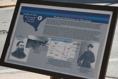
Decatur played a key role in the Federal defenses of the vital rail lines in North Alabama. These defenses were configured in a three-tiered system. First, a number of lightly armored gunboats, constructed on the Tennessee River and nicknamed “tinclads,” patrolled the river to intercept Confederate raiders attempting to cross. These gunboats regularly visited Decatur to obtain fuel, supplies and ammunition. The second component of the defensive line was garrisons stationed at strategic points on the Tennessee River. Finally, Federal units guarded the railroad in small stockades or blockhouses at important locations such as bridges.
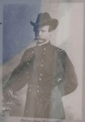
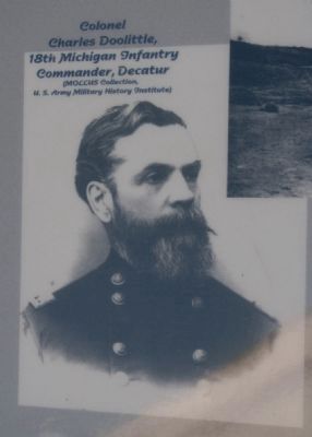
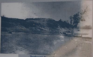
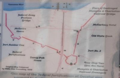
The most prominent Federal garrisons in North Alabama were located at Stevenson, Bridgeport, Huntsville, and Decatur. The Federal garrison at Decatur consisted of 1,800 infantry and cavalry and 17 pieces of artillery, and was the only post south of the Tennessee River. At Decatur, substantial earthworks and two artillery forts extended in a 1,600 yard arc from river bank to river bank. Fort Number One was located on the southwestern corner of the works, and Fort Number Two was located on the southeastern corner. The area surrounding the breastworks had been cleared for 800-1,000 yards. At some points in front of the breastworks an abatis had been established, as described by Orderly Sergeant Daniel L. Thomas of the 68th Indiana Infantry, “…a line of small trees, placed with the tops pointing outward, and the limbs trimmed with the sharp points toward the enemy, to check them when they were assaulting the works, so that…under a galling fire, they would become confused and retreat.” The garrison was commanded by Colonel Charles C. Doolittle, and Decatur was under the overall command of Brigadier General Robert S. Granger, responsible for all of North Alabama.
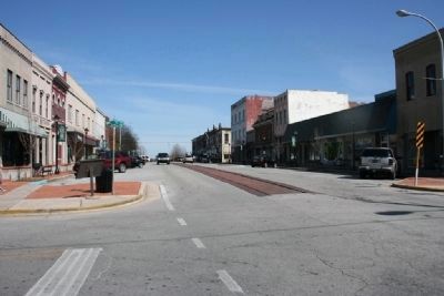
You are at the center of where Fort Number Two stood 1864-1865.
Erected by City of Decatur. (Marker Number 2.)
Topics. This historical marker is listed in these topic lists: Forts and Castles • War, US Civil.
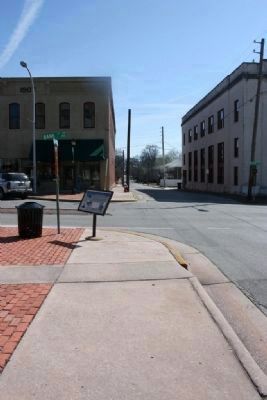
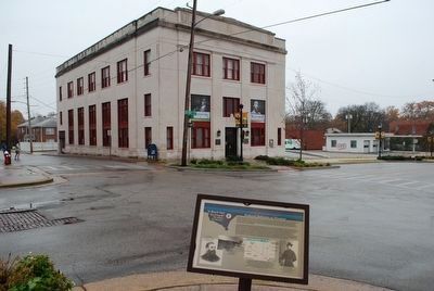
Location. 34° 36.746′ N, 86° 59.129′ W. Marker is in Decatur, Alabama, in Morgan County. Marker is at the intersection of Bank Street and Vine Street Northwest, on the right when traveling south on Bank Street. Touch for map. Marker is in this post office area: Decatur AL 35602, United States of America. Touch for directions.
Other nearby markers. At least 8 other markers are within walking distance of this marker. Votes for Women (a few steps from this marker); First Railroad (about 500 feet away, measured in a direct line); “An Affair Most Important to Us” - The Federal Right, October 27-28, 1864 (about 500 feet away); Old Decatur Historic District / Historic Depot (about 500 feet away); First United Methodist Church (about 500 feet away); To Commemorate the Passage of The Olympic Torch (about 600 feet away); Old Decatur Historic District / Old State Bank (about 600 feet away); Historic Downtown/Founders Park (about 600 feet away). Touch for a list and map of all markers in Decatur.
February 20, 2010
4. Map of the federal fortifications at Decatur
This map of the federal fortifications at Decatur was surveyed by Engineer John H. Willett sometime in 1864, and was “prepared under the direction of Colonel William Merrill, Chief Engineer, Department of the Cumberland; and Major James R. Willett, Chief Inspector of Rail Road Defenses, Dept. of the Cumberland.”
Credits. This page was last revised on June 16, 2016. It was originally submitted on March 6, 2010, by Timothy Carr of Birmingham, Alabama. This page has been viewed 1,834 times since then and 56 times this year. Last updated on July 30, 2015, by J. Makali Bruton of Accra, Ghana. Photos: 1, 2. submitted on March 6, 2010, by Timothy Carr of Birmingham, Alabama. 3. submitted on November 30, 2015, by Brandon Fletcher of Chattanooga, Tennessee. 4, 5, 6, 7, 8. submitted on March 6, 2010, by Timothy Carr of Birmingham, Alabama. • Bernard Fisher was the editor who published this page.
