Mobile in Mobile County, Alabama — The American South (East South Central)
The Convent of Mercy
Photographed by Mark Hilton, July 26, 2015
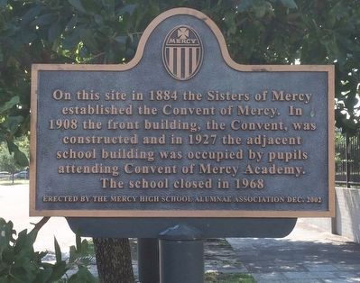
1. The Convent of Mercy Marker
Erected 2002 by the Mercy High School Alumnae Association.
Topics. This historical marker is listed in these topic lists: Education • Religion & Religious Structures • Women. A significant historical year for this entry is 1884.
Location. 30° 41.346′ N, 88° 3.147′ W. Marker is in Mobile, Alabama, in Mobile County. It is at the intersection of Springhill Avenue and St Francis Street, on the right when traveling east on Springhill Avenue. Touch for map. Marker is at or near this postal address: 753 St Francis Street, Mobile AL 36602, United States of America. Touch for directions.

Regionally, this marker is on Alabama’s Gulf Coast and in the Mobile Bay area. It is also in the American South, specifically in the Deep South, and on the Gulf Coast. Globally, it is in North America, a Gulf of Mexico state, the Western Hemisphere, the Western
this page online
Other nearby markers. At least 8 other markers are within walking distance of this marker: Creole Firehouse #1 (about 600 feet away, measured in a direct line); Bringing back Broad / T.I.G.E.R. on Broad (approx. 0.2 miles away); Dr. H. Roger Williams (approx. 0.2 miles away); St. Louis Street Missionary Baptist Church (approx. 0.2 miles away); Home of Raphael Semmes (approx. 0.2 miles away); Dr. Thomas N. Harris (approx. 0.2 miles away); The Quigley House (approx. 0.2 miles away); Old Church Street Cemetery - 1819 (approx. 0.2 miles away). Touch for a list and map of all markers in Mobile.
Also see . . . Wikipedia article on Convent. (Submitted on August 1, 2015, by Mark Hilton of Montgomery, Alabama.)
Photographed by Mark Hilton, July 26, 2015
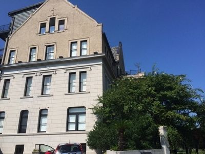
2. Former location of Convent of Mercy.
Known today as the St. Francis Place Condominiums.
Photographed by Mark Hilton, July 26, 2015
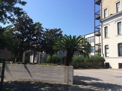
3. The Convent of Mercy former location.
Photographed by Mark Hilton, July 26, 2015
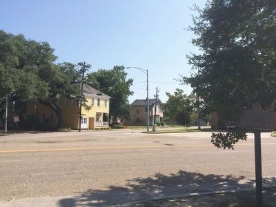
4. View across Springhill Avenue towards St Francis Street.
Credits. This page was last revised on May 6, 2018. It was originally submitted on August 1, 2015, by Mark Hilton of Montgomery, Alabama. This page has been viewed 1,483 times since then and 76 times this year. Photos: 1, 2, 3, 4. submitted on August 1, 2015, by Mark Hilton of Montgomery, Alabama.
