Lewellen in Garden County, Nebraska — The American Midwest (Upper Plains)
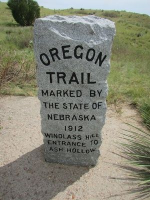
Oregon Trail
the State of
Nebraska
1912
Windlass Hill
entrance to
Ash Hollow
Erected by State of Nebraska.
Topics and series. This historical marker is listed in this topic list: Roads & Vehicles. In addition, it is included in the Oregon Trail series list. A significant historical year for this entry is 1912.
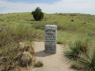
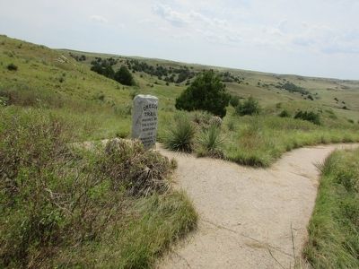
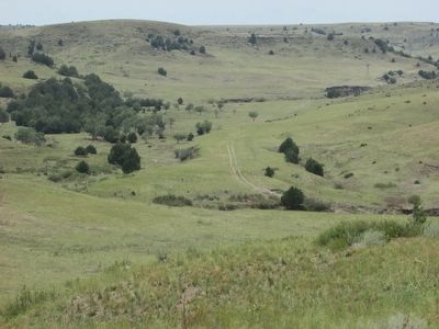
Location. 41° 15.695′ N, 102° 6.933′ W. Marker is in Lewellen, Nebraska, in Garden County. Marker can be reached from U.S. 26, on the right when traveling south. Marker is located in the Windlass Hill section of Ash Hollow State Historic Site. Touch for map. Marker is in this post office area: Lewellen NE 69147, United States of America. Touch for directions.
Other nearby markers. At least 8 other markers are within 2 miles of this marker, measured as the crow flies. Descent of Windlass Hill (within shouting distance of this marker); a different marker also named The Oregon Trail (about 300 feet away, measured in a direct line); Wagon Ruts (about 600 feet away); Wagons in the West (about 700 feet away); Rough Going (about 700 feet away); a different marker also named Oregon Trail (approx. half a mile away); Windlass Hill Pioneer Homestead (approx. 1˝ miles away); School District 55 (approx. 1.7 miles away). Touch for a list and map of all markers in Lewellen.
Additional commentary.
1. Windlass Hill
Emigrants didn't call this site "Windlass Hill" and it's never been proven the
wagons used a windlass system of ropes to come down from the
high table lands and into the North Platte River Valley. However,
Robert Harvey (deputy U.S. Surveyor) said in the early 1920s that tradition
established the story, and he saw one of the windlass posts still in place in 1874.
[Source: Cut in Stone, Cast in Bronze: Nebraska's Historical Markers and Monuments]
— Submitted March 26, 2024, by Mark Hilton of Montgomery, Alabama.
Credits. This page was last revised on March 26, 2024. It was originally submitted on August 3, 2015, by Bill Coughlin of Woodland Park, New Jersey. This page has been viewed 515 times since then and 21 times this year. Photos: 1, 2, 3, 4. submitted on August 3, 2015, by Bill Coughlin of Woodland Park, New Jersey.


