
Bayard in Morrill County, Nebraska — The American Midwest (Upper Plains)
The Oregon Trail
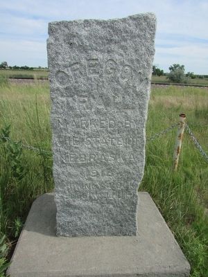
Photographed by Bill Coughlin, August 3, 2015
1. The Oregon Trail Marker
the State of
Nebraska
1912
Chimney Rock
S 56º 56’ W. 9041 Ft.
Erected 1912 by State of Nebraska.
Topics and series. This historical marker is listed in this topic list: Roads & Vehicles. In addition, it is included in the Oregon Trail series list. A significant historical year for this entry is 1912.
Location. 41° 43.228′ N, 103° 20.31′ W. Marker is in Bayard, Nebraska, in Morrill County. It is on State Highway 92, on the left when traveling east. Touch for map. Marker is in this post office area: Bayard NE 69334, United States of America. Touch for directions.

Regionally, this marker is in the Nebraska Panhandle. It is also in the American Midwest, in the Corn Belt, on the prairies, on the Great Plains, and specifically on the High Plains. Globally, it is in North America, the Western Hemisphere, the Western World, and the Anglosphere. Historically, it finds itself in what was once the Louisiana Purchase.
Other nearby markers. At least 8 other markers are within 10 miles of this marker, measured as the crow flies: Chimney Rock (here, next to this marker); Chimney Rock Station (a few steps from
this page online
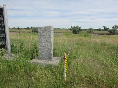
Photographed by Bill Coughlin, August 3, 2015
2. The Oregon Trail Marker
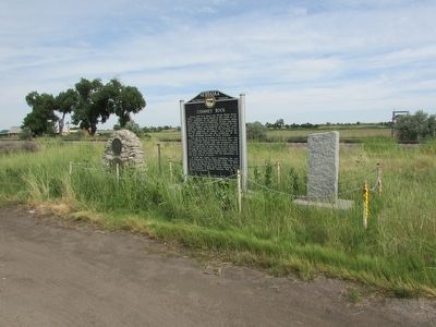
Photographed by Bill Coughlin, August 3, 2015
3. The Oregon Trail Marker
Several markers can be found at this location. The Oregon Trail marker is the rightmost marker.
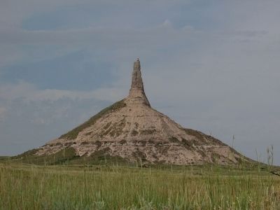
Photographed by Bill Coughlin, August 3, 2015
4. Chimney Rock
Chimney Rock was a conspicuous landmark on the Oregon Trail. Settlers traveling west carved their names on this rock which marked the beginning of their ascent into the Rocky Mountains.
Credits. This page was last revised on June 16, 2016. It was originally submitted on August 4, 2015, by Bill Coughlin of Woodland Park, New Jersey. This page has been viewed 895 times since then and 28 times this year. Photos: 1, 2, 3, 4. submitted on August 4, 2015, by Bill Coughlin of Woodland Park, New Jersey.
