New Bedford in Bristol County, Massachusetts — The American Northeast (New England)
Merrill's Wharf
Photographed by Dale K. Benington, July 30, 2015
1. Merrill's Wharf Marker
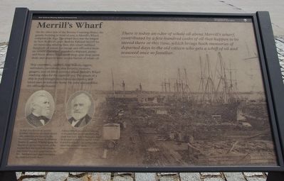
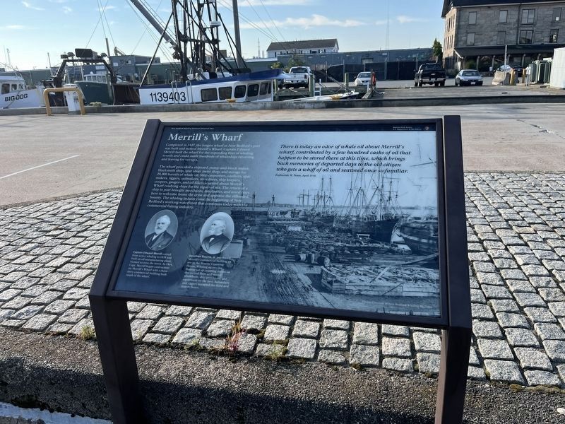
Ship carpenters, caulkers, spar makers, riggers, sailmakers, stevedores, ship keepers, coopers, gaugers, and oil fillers scurried about Merrill's Wharf readying ships for the rigors of sea. The return of a ship to port brought merchants, mechanics, and loved ones to welcome home the crew and appraise the offloaded bounty.
In 1848 Merrill built the granite building you see on the wharf's south side, which became known as the Bourne Counting House for Jonathan Bourne, Jr. Whaling agents like Bourne set up counting rooms on the second floor and stored whalebone, ship provisions, and equipment on the first. Sailmakers and riggers occupied the third and fourth floors.
Edward
this page online
There is today an odor of whale oil about Merrill's wharf, contributed by a few hundred casks of oil that happen to be stored there at this time, which brings back memories of departed days to the old citizen who gets a whiff of oil and seaweed once so familiar.
Zephaniah W. Pease, April 1916
Erected by National Park Service, Department of the Interior.
Topics. This historical marker is listed in these topic lists: Industry & Commerce • Waterways & Vessels. A significant historical year for this entry is 1847.
Location. 41° 38.018′ N, 70° 55.255′ W. Marker is in New Bedford, Massachusetts, in Bristol County. It is on MacArthur Drive south of Elm Street, on the left when traveling south. This marker is located in the downtown area, along the waterfront, in the vicinity of the New Bedford Harbor, Ferry Terminal. Touch for map. Marker is at or near this postal address: 66 MacArthur Drive, New Bedford MA 02740, United
Photographed by Dale K. Benington, July 30, 2015
2. Merrill's Wharf Marker
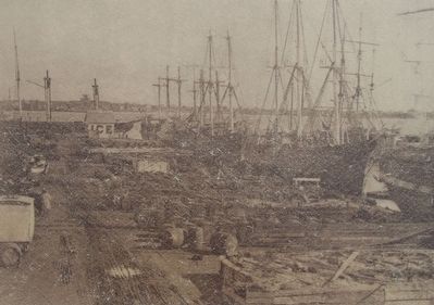
Close-up view, that is displayed on the marker, of a photograph (used as the background picture for the marker), showing Merrill's Wharf as it appeared during the whaling era.

Regionally, this marker is in the South Coast. It is also in the American Northeast, in New England, and on the Eastern Seaboard. Globally, it is in the North Atlantic Region, North America, the Western Hemisphere, the Western World, and the Anglosphere. Historically, it finds itself in what was once one of the original Thirteen Colonies.
Other nearby markers. At least 8 other markers are within walking distance of this marker: Whaling's Final Days (a few steps from this marker); Lost Lightship Sailors Memorial (within shouting distance of this marker); Cape Verde to New Bedford (within shouting distance of this marker); Ernestina's Many Lives (within shouting distance of this marker); Colonel George Claghorn (within shouting distance of this marker); From Whales to Bales (about 400 feet away, measured in a direct line); Commonwealth of Toil (about 500 feet away); The Dartmouth (about 700 feet away). Touch for a list and map of all markers in New Bedford.
Photographed by Dale K. Benington, July 30, 2015
3. Merrill's Wharf Marker
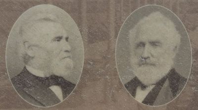
Close-up view, that is displayed on the marker, of two photographs, the one on the left showing a portrait of Jonathan Bourne, Jr., and the one on the right showing a portrait of Edward Merrill.
Photographed by Dale K. Benington, July 30, 2015
4. Merrill's Wharf Marker
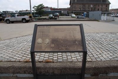
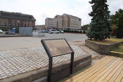
View of the marker, looking south, and the stone building in the right background of the picture is the Bourne Counting House.
Photographed by Dale K. Benington, July 30, 2015
5. Merrill's Wharf Marker
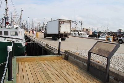
View of the marker, looking southwest, towards MacArthur Drive, with a view of the Bourne Counting House in the left background of the picture.
Photographed by Dale K. Benington, July 30, 2015
6. Merrill's Wharf Marker
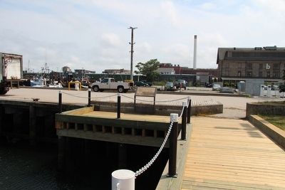
View of the marker looking east along the wharf.
Photographed by Dale K. Benington, July 30, 2015
7. Merrill's Wharf Marker
View of the marker looking south along the waterfront walkway.
Photographed by Adam Margolis, September 15, 2025
8. Merrill's Wharf Marker
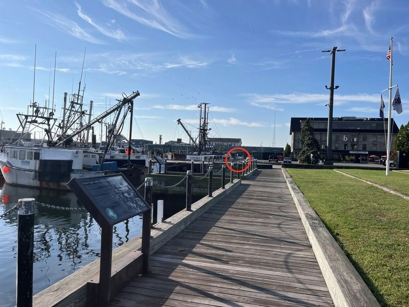
Photographed by Adam Margolis, September 15, 2025
9. Merrill's Wharf Marker
Credits. This page was last revised on November 22, 2025. It was originally submitted on August 5, 2015, by Dale K. Benington of Toledo, Ohio. This page has been viewed 760 times since then and 42 times this year. Photos: 1, 2, 3, 4, 5, 6, 7. submitted on August 5, 2015, by Dale K. Benington of Toledo, Ohio. 8, 9. submitted on November 21, 2025, by Adam Margolis of Mission Viejo, California.
