New Bedford in Bristol County, Massachusetts — The American Northeast (New England)
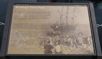
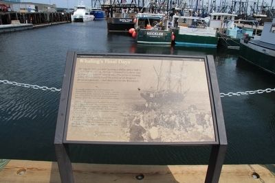
Whaling's Final Days
During the war, we were getting a dollar and a half a gallon for sperm oil. And then around 1922 there was no more demand for sperm oil....The price of sending a ship to sea doubled and the price of oil dropped about 200 percent....And then we lost the Wanderer.
Morris Sederholm, former whaling outfitter, October 17, 1962
By 1924 the whaling industry had returned to the grounds of its infancy - the southern Atlantic - and only a few ships and barks remained in the trade. Schooners often shipped from this port with skeleton crews and recruited men in the Cape Verde and Caribbean Islands.
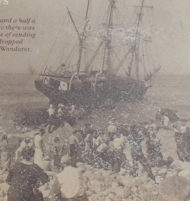
In late August 1924 the whale ship Wanderer, the last square-rigged, three-masted vessel to leave New Bedford on a whaling cruise, wrecked off Cuttyhunk Island in a fierce and unexpected gale. The ship's small crew could not keep the vessel from running aground just 14 miles south of New Bedford.
In August 1925 the schooner John R. Manta returned here with only 300 barrels of sperm oil. This cargo was the last return of whale oil or bone ever brought to the New Bedford customs district - and the end of whaling from this port.
Erected by National Park Service, Department of the Interior.
Topics. This historical marker is listed in these topic lists: Industry & Commerce • Waterways & Vessels. A significant historical date for this entry is October 17, 1932.
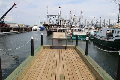
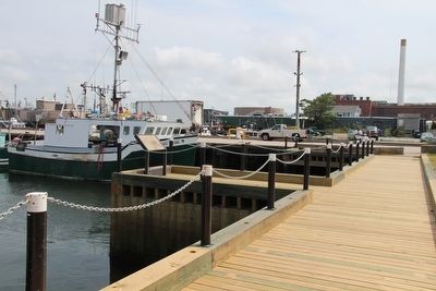
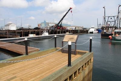
Location. 41° 38.028′ N, 70° 55.257′ W. Marker is in New Bedford, Massachusetts, in Bristol County. Marker is on MacArthur Drive south of Elm Street, on the left when traveling south. This marker is located in the downtown area, along the waterfront, in the vicinity of the New Bedford Harbor, Ferry Terminal. Touch for map. Marker is in this post office area: New Bedford MA 02740, United States of America. Touch for directions.
Other nearby markers. At least 8 other markers are within walking distance of this marker. Lost Lightship Sailors Memorial (a few steps from this marker); Cape Verde to New Bedford (a few steps from this marker); Merrill's Wharf (a few steps from this marker); Ernestina's Many Lives (within shouting distance of this marker); Colonel George Claghorn (within shouting distance of this marker); From Whales to Bales (about 400 feet away, measured in a direct line); Commonwealth of Toil (about 400 feet away); The Dartmouth (about 600 feet away). Touch for a list and map of all markers in New Bedford.
More about this marker. This is a great marker, at a wonderful location, with pertinent and significantly important historical information as well as an amazing background
photograph showing an historic event as it is happening, but the surface of the panel marker has weathered poorly and much of the text is barely legible and even the background picture is suffering from the weathering. This particular marker would probably benefit from an upgrade or replacement that could handle the weathering process, of this marker's location, much better than the current marker.
Credits. This page was last revised on February 27, 2018. It was originally submitted on August 5, 2015, by Dale K. Benington of Toledo, Ohio. This page has been viewed 335 times since then and 13 times this year. Photos: 1, 2, 3, 4, 5, 6. submitted on August 6, 2015, by Dale K. Benington of Toledo, Ohio.
