Orient in Adair County, Iowa — The American Midwest (Upper Plains)
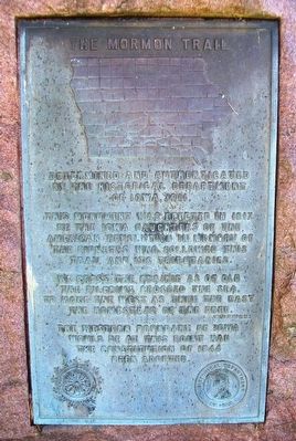
The Mormon Trail
the Historical Department of Iowa, 1911.
This monument was erected in 1917 by
the Iowa Daughters of the American Revolution
in memory of the pioneers who followed
this trail and its tributaries.
We cross the prairie as of old
the pilgrims crossed the sea,
to make the West as they the East
the homestead of the free.
The western boundary of Iowa
would be at this point had the
Constitution of 1844 been adopted.
Erected 1917 by Iowa Daughters of the American Revolution and Historical Department of Iowa.
Topics and series. This historical marker is listed in these topic lists: Roads & Vehicles • Settlements & Settlers. In addition, it is included in the Daughters of the American Revolution series list. A significant historical year for this entry is 1911.
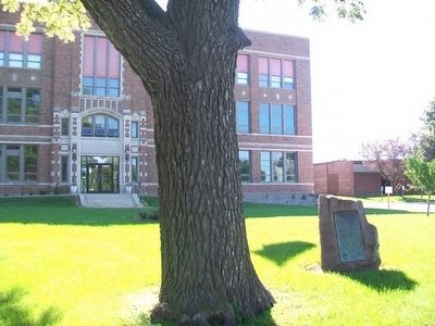
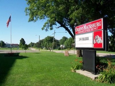
Location. 41° 12.048′ N, 94° 24.872′ W. Marker is in Orient, Iowa, in Adair County. Marker is on School Street (State Highway 25) south of Division Street, on the right when traveling north. Touch for map. Marker is at or near this postal address: 201 School Street, Orient IA 50858, United States of America. Touch for directions.
Other nearby markers. At least 8 other markers are within 8 miles of this marker, measured as the crow flies. Veterans Memorial (approx. 0.2 miles away); Grasses / Voices (approx. 3.2 miles away); Native Prairie Planting (approx. 3.3 miles away); Jasper James And His Family (approx. 3.4 miles away); Henry A. Wallace Birthplace (approx. 3.4 miles away); Carnegie Library (approx. 7˝ miles away); Light Plant (approx. 7˝ miles away); Warren Opera House Block and Hetherington Block (approx. 7.6 miles away). Touch for a list and map of all markers in Orient.
Also see . . . Mormon Pioneer National Historic Trail. (Submitted on August 9, 2015, by William Fischer, Jr. of Scranton, Pennsylvania.)
Credits. This page was last revised on June 16, 2016. It was originally submitted on August 9, 2015, by William Fischer, Jr. of Scranton, Pennsylvania. This page has been viewed 423 times since then and 18 times this year. Photos: 1, 2, 3. submitted on August 9, 2015, by William Fischer, Jr. of Scranton, Pennsylvania.


