Near Adairsville in Bartow County, Georgia — The American South (South Atlantic)
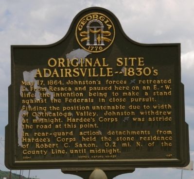
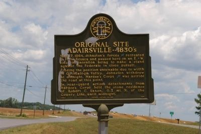
Original Site Adairsville ó 1830ís
Finding the position untenable due to width of Oothcaloga Valley, Johnston withdrew at midnight. Hardee's Corps (CSA) was astride the road at this point.
In rear-guard action, detachments from Hardee's Corps held the stone residence of Robert C. Saxon, 0.2 mi. N. of the County Line, until midnight.
Erected 1997 by Georgia Department of Natural Resources. (Marker Number 008-1.)
Topics and series. This historical marker is listed in this topic list: War, US Civil. In addition, it is included in the Georgia Historical Society series list. A significant historical date for this entry is May 17, 1864.
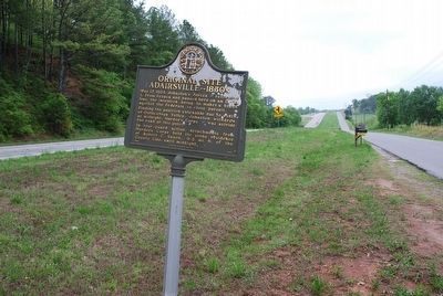
Location. 34° 23.862′ N, 84° 56.08′ W. Marker is near Adairsville, Georgia, in Bartow County. Marker is on Joe Frank Harris Parkway (U.S. 41 at milepost 0), 0 miles south of Miller Ferry Road, on the right when traveling south. The marker is immediately south of the Gordon County line and the Robt. C. Saxon house marker. Touch for map. Marker is in this post office area: Adairsville GA 30103, United States of America. Touch for directions.
Other nearby markers. At least 8 other markers are within 3 miles of this marker, measured as the crow flies. Major John Lewis (approx. 0.9 miles away); Cherokee Nation (approx. 1.3 miles away); Historic Trimble House (approx. 1.8 miles away); Joe P. Bowdoin, M.D. (approx. 2.1 miles away); Adairsville, Georgia (approx. 2.1 miles away); The Great Locomotive Chase (approx. 2.1 miles away); Mosteller's Mills (approx. 2.2 miles away); Johnston's Army at Adairsville (approx. 2.2 miles away). Touch for a list and map of all markers in Adairsville.
Credits. This page was last revised on June 16, 2016. It was originally submitted on September 26, 2008, by David Seibert of Sandy Springs, Georgia. This page has been viewed 2,228 times since then and 22 times this year. Last updated on August 11, 2015, by Brandon Fletcher of Chattanooga, Tennessee. Photos: 1, 2. submitted on September 26, 2008, by David Seibert of Sandy Springs, Georgia. 3. submitted on August 11, 2015, by Brandon Fletcher of Chattanooga, Tennessee. • Andrew Ruppenstein was the editor who published this page.


