Belfield in Stark County, North Dakota — The American Midwest (Upper Plains)
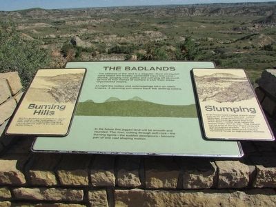
The Badlands
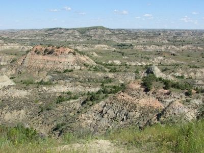
The stillness of the land is a disguise. Hard infrequent rain attack the loosely cemented clays and sandstones, gouging new gullies and carrying off as much as two to four inches of surface a year from steep, unprotected slopes.
At night the buttes and outcroppings take on eerie shapes. A dawning sun pours back the shifting colors.
In the future this jagged land will be smooth and rounded. The river, cutting through soft rock – the burning lignite – the sudden downpours – become part of one vast shaping motion.
< Left Sidebar: >
Burning Hills
Sparked by lightning or grass fires, lignite coal ruins smolder underground. The fierce heat bakes the surrounding rock into red clinkers, such as you see on the nearby hilltops.
< Right Sidebar: >
Slumping
Huge house-sized masses of earth shear from bluffs and creep downhill. Unlike landslides, these slumpblocks remain intact, and move so slowly that most shear scars weather away before the blocks finally come to rest. This can be seen at the foot of this viewpoint and throughout the park. Try to match the slumpblocks’ tilted strata with the horizontal bands on high exposed hillsides.
Erected by National Park Service.
Topics. This historical marker is listed in this topic list: Natural Features.
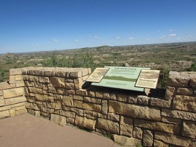
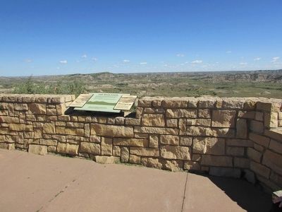
Location. 46° 53.751′ N, 103° 22.896′ W. Marker is in Belfield, North Dakota, in Stark County. Marker can be reached from Interstate 94, on the right when traveling west. Marker is located behind the Painted Canyon Visitor Center in Theodore Roosevelt National Park. Touch for map. Marker is in this post office area: Belfield ND 58622, United States of America. Touch for directions.
Other nearby markers. At least 8 other markers are within 7 miles of this marker, measured as the crow flies. The Soldiers and the Sioux (within shouting distance of this marker); Time Travel on the Custer Trail (within shouting distance of this marker); Welcome to Painted Canyon – A View into Theodore Roosevelt National Park (within shouting distance of this marker); Dude on the Frontier (about 400 feet away, measured in a direct line); Invasion Confronted (about 400 feet away); Invader on the Badlands (about 400 feet away); North Dakota Badlands (approx. 5.9 miles away); Von Hoffman House (approx. 6.7 miles away). Touch for a list and map of all markers in Belfield.
Credits. This page was last revised on June 16, 2016. It was originally submitted on August 15, 2015, by Bill Coughlin of Woodland Park, New Jersey. This page has been viewed 391 times since then and 6 times this year. Photos: 1, 2, 3, 4. submitted on August 15, 2015, by Bill Coughlin of Woodland Park, New Jersey.


