Lewellen in Garden County, Nebraska — The American Midwest (Upper Plains)
Descent of Windlass Hill
Photographed by Bill Coughlin, August 3, 2015
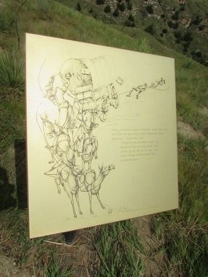
1. Descent of Windlass Hill Marker
difficult terrain since their departure from
Missouri. One man said:
“I cannot say at what angle we
descend, but it is so great that
some go so far as to say ‘the
road hangs a little past the
perpendicular . . . . ”
Topics. This historical marker is listed in this topic list: Roads & Vehicles.
Location. 41° 15.659′ N, 102° 6.904′ W. Marker is in Lewellen, Nebraska, in Garden County. It can be reached from U.S. 26, on the right when traveling south. Marker is located in the Windlass Hill section of Ash Hollow State Historical Park. Touch for map. Marker is in this post office area: Lewellen NE 69147, United States of America. Touch for directions.

Regionally, this marker is in the Nebraska Panhandle. It is also in the American Midwest, in the Corn Belt, on the prairies, on the Great Plains, and specifically on the High Plains. Globally, it is in North America, the Western Hemisphere, the Western World, and the Anglosphere. Historically, it finds itself in what was once the Louisiana Purchase.
Other nearby markers. At
this page online
More about this marker. A picture on the marker shows a covered wagon making the steep descent down Windlass Hill.
Photographed by Bill Coughlin, August 3, 2015
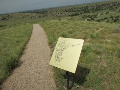
2. Descent of Windlass Hill Marker
Photographed by Bill Coughlin, August 3, 2015
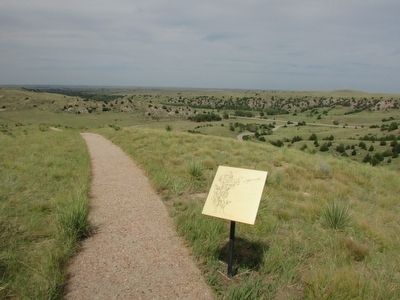
3. Descent of Windlass Hill Marker
Photographed by Bill Coughlin, August 3, 2015
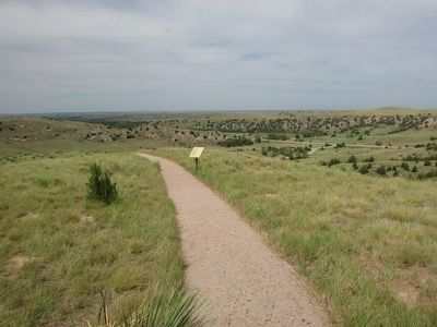
4. Marker on Windlass Hill
Windlass Hill was so steep that wagons on the Oregon Trail had to use ropes or chains to slow their descent, or they locked their wheels and slid down the hill.
Credits. This page was last revised on December 21, 2024. It was originally submitted on August 17, 2015, by Bill Coughlin of Woodland Park, New Jersey. This page has been viewed 733 times since then and 32 times this year. Photos: 1, 2, 3, 4. submitted on August 17, 2015, by Bill Coughlin of Woodland Park, New Jersey.
