Scottsbluff in Scotts Bluff County, Nebraska — The American Midwest (Upper Plains)
A Grand & Splendid Formation
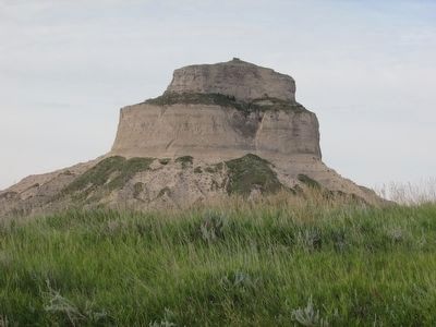
Scotts Bluff
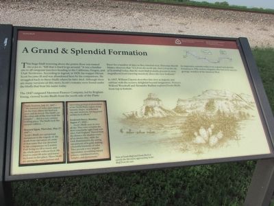
This huge bluff towering above the prairie floor was named me-a-pa-te, “hill that is hard to go around.” It was a familiar site to all emigrant travelers heading to the California, Oregon, and Utah Territories. According to legend, in 1828, fur trapper Hirum Scott became ill and was abandoned here by his companions. He struggled back to these bluffs where he later died. Although there are many versions of this story, Scott’s remains were found under the bluffs that bear his name today.
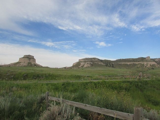
The 1847 vanguard Mormon Pioneer Company, led by Brigham Young, viewed Scotts Bluff from the north side of the Platte River for a number of days as they traveled west. Historian Merrill Mattes observes that “it is from the north side, that is from the city of Scottsbluff today, that the main bluff probably presents its most magnificent front towering massively above the river badlands.”
In 1847, William Clayton describes this view as majestic and sublime with the scenery delightful beyond imagination. Pioneers Wilford Woodruff and Alexander Badlam explored Scotts Bluffs from top to bottom.
An impressive curiosity today, it was a grand and splendid formation to 19th century emigrants who had never seen the geologic wonders of the American West.
< Sidebar : >
Patty Sessions, July 31, 1847 -
“We traveled 15 miles and camped on the river, where the feed was poor and no wood. The bluff’s on the other side of the river look like temples’ . . . this is a very curious looking place. The bluffs look like ancient odifices . . . ”
Howard Egan, Thursday, May 27, 1847 -
“Scott’s Bluffs are a perpetual monument to the tragedy of the death from starvation of a man of that name that was deserted by his companions on Laramie Fork being too ill to travel, and the whole party without food. He lived to crawl 80 miles and leaves his bones in this place. These bluffs are among the many curious and interesting geological phenomena of the North Platte region, being fantastic shapes in indurated clay and sandstone, having grand architectural effects.”
Frederick Piercy, Monday, August 17, 1852 -
“ . . . Scott’s Bluffs were in view all day. They were certainly the most remarkable sight I had seen since I left England. Viewed from the distance the shadows were of an intense blue, while the rock illuminated by the setting sun partook of its gold, making a beautiful harmony of color. They present a very singular appearance, resembling ruined palaces, castellated towers, temples, and monuments.”
Erected by National Park Service.
Topics. This historical marker is listed in these topic lists: Natural Features • Roads & Vehicles • Settlements & Settlers. A significant historical date for this entry is May 27, 1847.
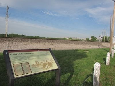
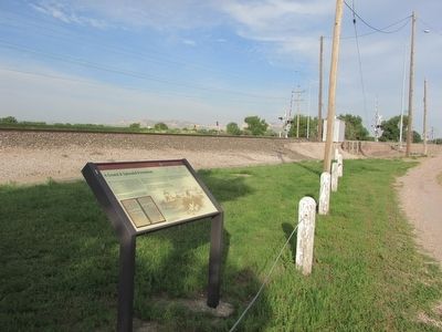
Location. 41° 50.595′ N, 103° 37.036′ W. Marker is in Scottsbluff, Nebraska, in Scotts Bluff County. Marker is at the intersection of S Beltline Hwy E and U.S. 26, on the right when traveling north on S Beltline Hwy E. Touch for map. Marker is in this post office area: Scottsbluff NE 69361, United States of America. Touch for directions.
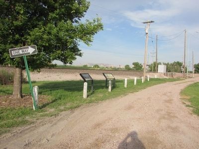
Other nearby markers. At least 8 other markers are within 4 miles of this marker, measured as the crow flies. The Road to Zion (here, next to this marker); Winters (a few steps from this marker); Rebecca Winters (a few steps from this marker); Scottsbluff Army Air Field (approx. 2.2 miles away); Veterans Memorial (approx. 2.2 miles away); Replica of the Statue of Liberty (approx. 2.4 miles away); The Platte River Road (approx. 2.7 miles away); Pascual Huerta Memorial (approx. 3.1 miles away). Touch for a list and map of all markers in Scottsbluff.
More about this marker. A picture on the right side of the marker depicts a “View of South Bluff and Dome Rock as seen by the Mormons approaching Scotts Bluff from the east.”
Credits. This page was last revised on June 16, 2016. It was originally submitted on August 18, 2015, by Bill Coughlin of Woodland Park, New Jersey. This page has been viewed 356 times since then and 7 times this year. Photos: 1, 2, 3, 4, 5, 6. submitted on August 18, 2015, by Bill Coughlin of Woodland Park, New Jersey.
