Near High Rock, East Grand Bahama, The Bahamas — North Atlantic (Lucayan Archipelago of the West Indies)
Ben's Cave
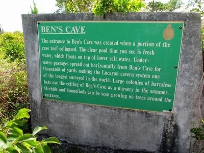
Photographed by Richard Denney, August 11, 2015
1. Ben's Cave Marker
Topics. This historical marker is listed in this topic list: Natural Features.
Location. 26° 36.358′ N, 78° 24.133′ W. Marker is near High Rock, East Grand Bahama. It can be reached from Grand Bahama Highway. Marker is located on walking trail in the Lucayan National Park, north-side of Grand Bahama Highway. Touch for map. Touch for directions.

Regionally, it is on the Atlantic Ocean, in North America, in the Western Hemisphere, and in the Anglosphere. Historically, it finds itself in what was once a British colony.
Other nearby markers. At least 5 other markers are within 19 kilometers
this page online
Photographed by Richard Denney, August 11, 2015
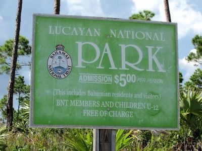
2. Lucayan National Park
Ben's Cave is located inside Lucayan National Park
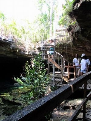
Photographed by Richard Denney, August 11, 2015
3. Ben's Cave
Credits. This page was last revised on December 20, 2025. It was originally submitted on August 19, 2015, by Richard Denney of Austin, Texas. This page has been viewed 1,090 times since then and 59 times this year. Photos: 1, 2, 3. submitted on August 19, 2015, by Richard Denney of Austin, Texas. • Andrew Ruppenstein was the editor who published this page.
