Near French Camp in Attala County, Mississippi — The American South (East South Central)
Cole Creek
Photographed by Duane Hall, August 5, 2015
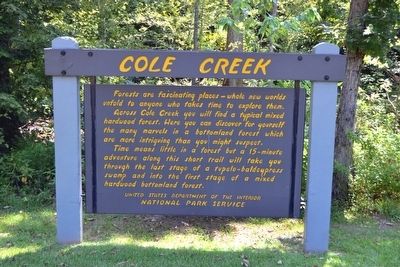
1. Cole Creek Marker
Across Cole Creek you will find a typical mixed hardwood forest. Here you can discover for yourself the many marvels in a bottomland forest which are more intriguing than you might suspect.
Time means little in a forest but a 15-minute adventure along this short trail will take you through the last stage of a tupelo-baldcypress swamp and into the first stage of a mixed hardwood bottomland forest.
Erected by National Park Service.
Topics and series. This historical marker is listed in this topic list: Environment. In addition, it is included in the Natchez Trace series list.
Location. 33° 13.741′ N, 89° 26.745′ W. Marker is near French Camp, Mississippi, in Attala County. It is on Natchez Trace Parkway (at milepost 175.6), 0.8 miles south of County Road 3122, on the right when traveling north. Touch for map. Marker is in this post office area: Mc Cool MS 39108, United States of America. Touch for directions.

Regionally, this marker is in Central Mississippi.
this page online
Other nearby markers. At least 8 other markers are within 13 miles of this marker, measured as the crow flies: Bethel Mission (approx. 0.6 miles away); Natchez Trace at French Camp (approx. 4.9 miles away); French Camp (approx. 4.9 miles away); Col. James Drane (approx. 5.1 miles away); Choctaw County Blues (approx. 9.4 miles away); Col. John Weir House (approx. 9½ miles away); Hurricane Creek (approx. 11.1 miles away); Conner Cemetery (approx. 12½ miles away). Touch for a list and map of all markers in French Camp.
Also see . . . Natchez Trace Parkway. Official National Park Service website. (Submitted on August 21, 2015.)
Photographed by Duane Hall, August 5, 2015
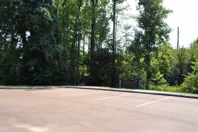
2. Cole Creek Marker Next to Nature Trail Head
Photographed by Duane Hall, August 5, 2015
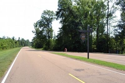
3. View to Northeast From Natchez Trace Parkway
Photographed by Duane Hall, August 5, 2015
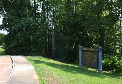
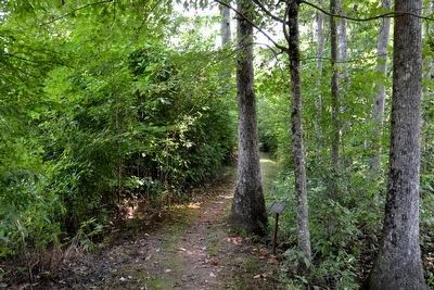
4. Stairs Leading to the Cole Creek Nature Trail
Photographed by Duane Hall, August 5, 2015
5. Water Tupelo Tree
Photographed by Duane Hall, August 5, 2015
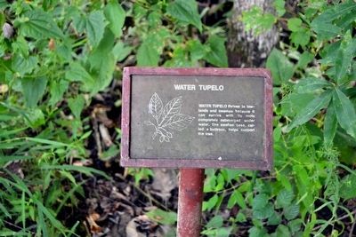
6. Water Tupelo Interpretive Sign
Water tupelo thrives in lowlands and swamps because it can survive with its roots completely submerged under water. The swollen base, called a buttress, helps support the tree.
Photographed by Duane Hall, August 5, 2015
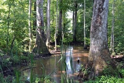
7. Cole Creek Swamp
Photographed by Duane Hall, August 5, 2015
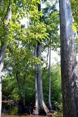
8. Baldcypress Tree
Photographed by Duane Hall, August 5, 2015
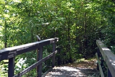
9. Bridge Across Swamp
Photographed by Duane Hall, August 5, 2015
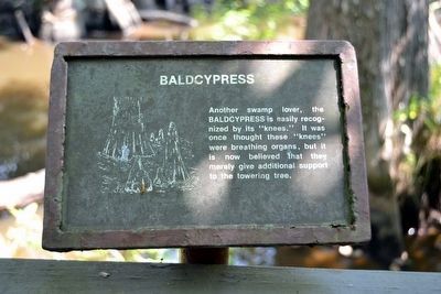
10. Baldcypress Interpretive Sign
Another swamp lover, the baldcypress is easily recognized by its “knees.” It was once thought these “knees” were breathing organs, but it is now believed that they merely give additional support to the towering tree.
Photographed by Duane Hall, August 5, 2015
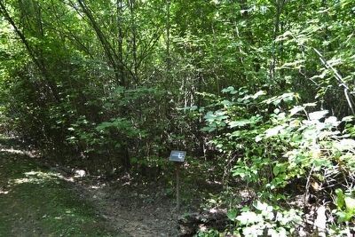
11. Trail at Mixed Hardwood Forest Interpretive Sign
Photographed by Duane Hall, August 5, 2015
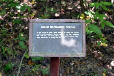
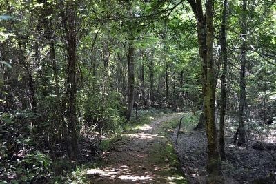
12. Mixed Hardwood Forest Interpretive Sign
As the swamp is filled, other species of trees are able to survive and reproduce. Beech, hickory, red oak, chestnut oak, ash, elm, and many others comprise the mixed hardwood forest that is taking over the area.
Photographed by Duane Hall, August 5, 2015
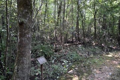
13. Trail at Decay and Floods Interpretive Signs
Photographed by Duane Hall, August 5, 2015
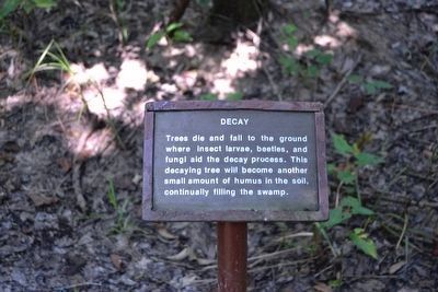
14. Decay Interpretive Sign
Trees die and fall to the ground where insect larvae, beetles, and fungi aid the decay process. This decaying tree will become another small amount of humus in the soil, continually filling the swamp.
Photographed by Duane Hall, August 5, 2015
15. Low Lying Areas Flooded by Cole Creek
Photographed by Duane Hall, August 5, 2015
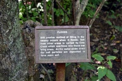
16. Floods Interpretive Sign
Still another method of filling in the swamp occurs when it floods. Soil from other areas is carried by Cole Creek which overflows into these low lying areas. As the water slows down the soil particles are deposited to form more soil.
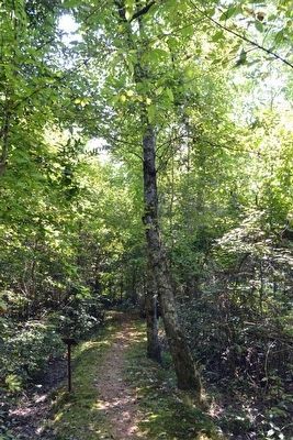
Photographed by Duane Hall, August 5, 2015
17. Red Maple Trees
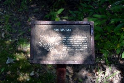
Photographed by Duane Hall, August 5, 2015
18. Red Maples Interpretive Sign
The red maple is a transition tree between the swamp forest and the hardwood forest. It is able to sprout and grow in marshy areas and as these areas dry out it can survive with the other hardwoods.
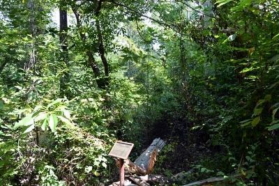
Photographed by Duane Hall, August 5, 2015
19. Cole Creek Visible beyond the Brush
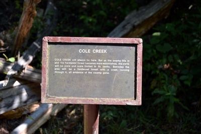
Photographed by Duane Hall, August 5, 2015
20. Cole Creek Interpretive Sign
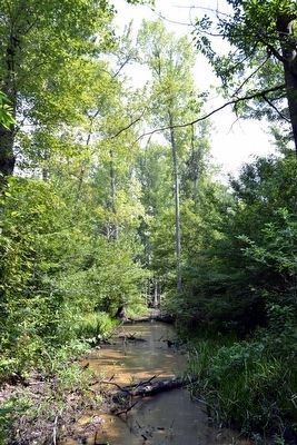
Cole Creek will always be here. But as the swamp fills in and the hardwood forest becomes more established, the creek will be more and more limited to its banks. Someday the area will be a hardwood forest with a creek running through it, all evidence of the swamp gone.
Photographed by Duane Hall, August 5, 2015
21. Cole Creek
Credits. This page was last revised on June 16, 2016. It was originally submitted on August 21, 2015, by Duane Hall of Abilene, Texas. This page has been viewed 778 times since then and 48 times this year. Photos: 1, 2, 3. submitted on August 21, 2015, by Duane Hall of Abilene, Texas. 4, 5, 6, 7, 8, 9, 10, 11, 12, 13, 14, 15, 16, 17, 18, 19, 20, 21. submitted on October 24, 2015, by Duane Hall of Abilene, Texas.
