London in Laurel County, Kentucky — The American South (East South Central)
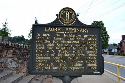
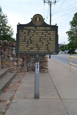
Laurel Seminary
Erected 1964 by Kentucky Historical Society and Kentucky Department of Highways. (Marker Number 661.)
Topics and series. This historical marker is listed in these topic lists: Education • War, US Civil. In addition, it is included in the Kentucky Historical Society series list. A significant historical year for this entry is 1858.
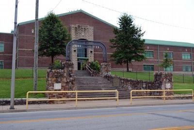
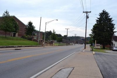
Location. 37° 7.894′ N, 84° 5.198′ W. Marker is in London, Kentucky, in Laurel County. Marker is on N. Main Street (U.S. 25) north of E. Maple Street, on the right when traveling north. Marker is located in front of London Elementary School at the sidewalk entrance. Touch for map. Marker is at or near this postal address: 600 N Main St, London KY 40741, United States of America. Touch for directions.
Other nearby markers. At least 8 other markers are within walking distance of this marker. The Wilderness Road (about 400 feet away, measured in a direct line); This Clock (approx. ¼ mile away); Wilderness Road/Boone Trace (approx. ¼ mile away); Laurel County Veterans Memorial (approx. ¼ mile away); Battle of London (approx. ¼ mile away); Poynter Building (approx. ¼ mile away); Laurel County Veterans Monument (approx. 0.3 miles away); Federal Building (approx. 0.4 miles away). Touch for a list and map of all markers in London.
Credits. This page was last revised on December 2, 2022. It was originally submitted on August 26, 2015, by Duane Hall of Abilene, Texas. This page has been viewed 579 times since then and 27 times this year. Photos: 1, 2, 3, 4. submitted on August 26, 2015, by Duane Hall of Abilene, Texas.


