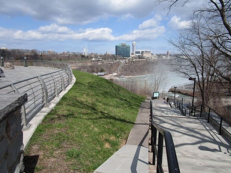
Niagara Falls in Niagara County, New York — The American Northeast (Mid-Atlantic)
Luna Island
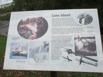
Luna Island was once covered with white cedar trees, which were able to withstand harsh winter conditions. In the summer, these trees were filled with the nests of bald eagles and cedar waxwings. Throughout the years, the trees have disappeared because of natural erosion and human activity.
The Luna Island/Bridal Veil Falls Viewing Area was closed in 1954-55 to remove a rock overhang, and again in 1970-72 to stabliize the area. During this period, the Bridal Veil Falls was dewatered, holes were drilled in the island's rock base to relieve water presure, and giant rock bolts, rock dowels, and cable tendons were installed to prevent the occurence of rockfalls. Today, Luna Island provides the closest and most dramatic setting from which visitors can safely view the American Falls.
Luna Island Bridge by George Curtis, ca. 1895. Courtesy of Rare Book Room, Buffalo and Erie County Public Library, Buffalo, NY.
Ice and snow grip Luna Island and the Bridal Veil Falls in their winter splendor.
Engraving of Luna Island, 1882. Image courtesy of Niagara Falls Public Library.
Preparation for drilling of rock bolt holes on Bridal Veil Falls channel.
Cable tendon. Rock dowel. Rock bolt.
Topics. This historical marker is listed in these topic lists: Environment • Waterways & Vessels. A significant historical year for this entry is 1954.
Location. Marker has been reported missing. It was located near 43° 4.979′ N, 79° 4.252′ W. Marker was in Niagara Falls, New York, in Niagara County. Marker could be reached from Goat Island Road. Marker is at the north end of Goat Island in Niagara Falls State Park to the left of the stairs to the bridge to Luna Island. Touch for map. Marker was in this post office area: Niagara Falls NY 14303, United States of America. Touch for directions.
Other nearby markers. At least 8 other markers are within walking distance of this location. Nikola Tesla (a few steps from this marker); a different marker also named Nikola Tesla (a few steps from this marker); Niagara River Corridor Important Bird Area (about 300 feet away, measured in a direct line); Cave of the Winds Elevator (about 300 feet away); Original Stepping Stone (about 300 feet away); The Cave of the Winds (about 400 feet away); Cave of the Winds and Bridal Veil Falls (about 400 feet away); World's First Hydroelectric Power Plant (about 500 feet away). Touch for a list and map of all markers in Niagara Falls.
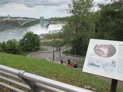
Photographed By Anton Schwarzmueller, August 26, 2015
5. Luna Island Marker & Pedestrian Bridge
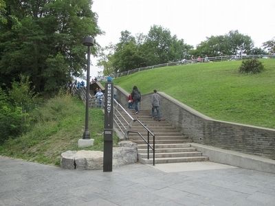
Here is the south end of the pedestrian bridge to Luna Island. Note another walkway reaches the bridge here, level with the bridge, between the stairs and the bridge end. This walkway begins far to the east on Goat Island, splitting from the main walkway, and decending to this point without stairs.
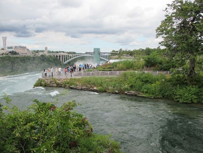
Photographed By Anton Schwarzmueller, August 26, 2015
6. Luna Island
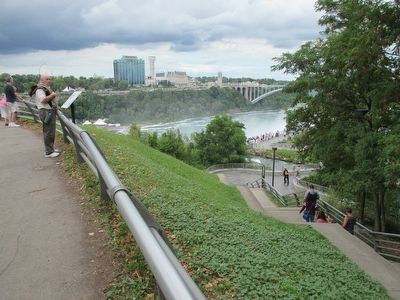
The brink of the Bridal Falls is in the foreground. The crowd is on Luna Island. A glimpse of the American Falls can be seen on the far side of the island. The glass observation tower is on the mainland. The Rainbow Bridge international crossing is in the background, linking Niagara Falls, Ontario, Canada with Niagara Falls, NY, USA. The river flows north, into the background. The Horseshoe Falls, the main cataract of Niagara Falls, is upstream of the gorge from here.
Credits. This page was last revised on April 15, 2020. It was originally submitted on August 30, 2015, by Anton Schwarzmueller of Wilson, New York. This page has been viewed 365 times since then and 11 times this year. Photos: 1, 2, 3, 4, 5, 6. submitted on August 30, 2015, by Anton Schwarzmueller of Wilson, New York. 7. submitted on April 15, 2020, by Anton Schwarzmueller of Wilson, New York.
