Weedsport in Cayuga County, New York — The American Northeast (Mid-Atlantic)
God's Acre
Photographed by Anton Schwarzmueller, August 28, 2015
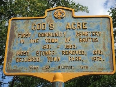
1. God's Acre Marker
First community cemetery
in the town of Brutus
1801 - 1863.
Most stones removed, 1916.
Declared town park, 1974.
Erected 1976 by Town of Brutus.
Topics and series. This historical marker is listed in this topic list: Cemeteries & Burial Sites. In addition, it is included in the The Spirit of ’76, America’s Bicentennial Celebration series list. A significant historical year for this entry is 1801.
Location. 43° 2.618′ N, 76° 33.794′ W. Marker is in Weedsport, New York, in Cayuga County. It is at the intersection of South Seneca Street (New York State Route 34) and Highland Avenue, on the right when traveling north on South Seneca Street. Touch for map. Marker is in this post office area: Weedsport NY 13166, United States of America. Touch for directions.

Regionally, this marker is in Upstate New York, specifically in Central New York, and in the Syracuse Metropolitan Area. It is also in the American Northeast and in the Mid-Atlantic. Globally, it is in North America, the Western Hemisphere, the Western World, and the Anglosphere. Historically, it finds itself in what was once the Haudenosaunee
this page online
Other nearby markers. At least 8 other markers are within walking distance of this marker: First Baptist Church of Weedsport (approx. ¼ mile away); Firehouse (approx. 0.3 miles away); Weed's Basin (approx. 0.3 miles away); Town of Brutus (approx. 0.4 miles away); Tug Boat Marion (approx. half a mile away); Cayuga County Veterans Memorial (approx. 0.6 miles away); The Erie Canal (approx. 0.6 miles away); Conduit For Ideas (approx. 0.6 miles away). Touch for a list and map of all markers in Weedsport.
Photographed by Anton Schwarzmueller, August 28, 2015
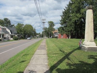
2. Northward
Marker is edge-on at center; there is a small flag at the base.
Photographed by Anton Schwarzmueller, August 28, 2015
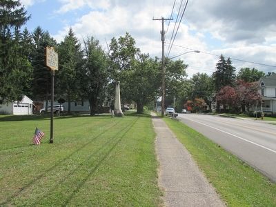
3. Southward
Photographed by Anton Schwarzmueller, August 28, 2015
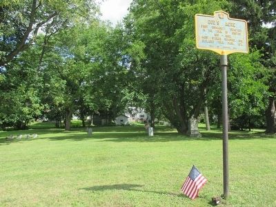
4. God's Acre & Marker

Photographed by Mira Earls, November 20, 2024
5. God's Acre Marker in 2024
Credits. This page was last revised on December 12, 2024. It was originally submitted on August 30, 2015, by Anton Schwarzmueller of Wilson, New York. This page has been viewed 938 times since then and 29 times this year. Photos: 1, 2, 3, 4. submitted on August 30, 2015, by Anton Schwarzmueller of Wilson, New York. 5. submitted on November 20, 2024, by Mira Earls of Cortland, New York.
