Healing Springs in Barnwell County, South Carolina — The American South (South Atlantic)
Godís Acre Healing Springs
[Front text]
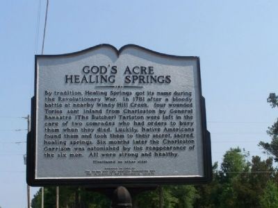
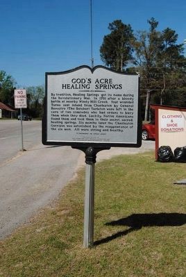
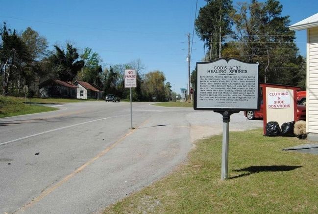
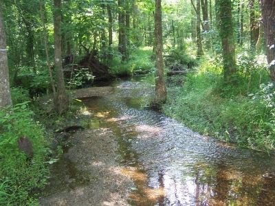
By tradition, Healing Springs got its name during the Revolutionary War. In 1781 after a bloody battle at nearby Windy Hill Creek, four wounded Tories sent inland from Charleston by General Banastre (the Butcher) Tarleton were left in the care of two comrades who had orders to bury them when they died. Luckily, Native Americans found them and took them to their secret, sacred healing springs. Six months later the Charleston garrison was astonished by the reappearance of the six men. All were strong and healthy.
(Reverse text)
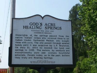
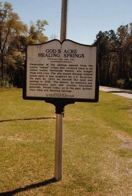
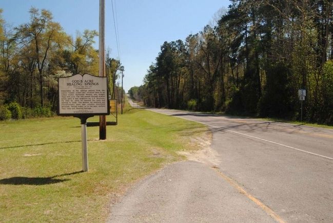
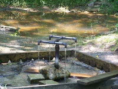
Ownership of the springs passed from the native “Indian” tribes who revered them to Nathaniel Walker, who bought them with corn. The site passed through several hands until it was acquired by L. P. Boyleston. On July 21, 1944 he deeded the land and springs to GOD. The waters, by analysis are exceptionally pure and contain healthful minerals. People today, as in the past, believe they truly are Healing Springs.
Erected 1998 by By the Frank and Lucy Hartzog Foundation and the Blackville Area Historical Society.
Topics. This historical marker is listed in these topic lists: Native Americans • War, US Revolutionary. A significant historical date for this entry is July 21, 1944.
Location. 33° 23.668′ N, 81° 16.652′ W. Marker is in Healing Springs, South Carolina, in Barnwell County. Marker is at the intersection of State Highway 3 and Healing Springs Road (State Highway S-6-32), on the right when traveling north on State Highway 3. Touch for map. Marker is in this post office area: Blackville SC 29817, United States of America. Touch for directions.
Other nearby markers. At least 10 other markers are within 7 miles of this marker, measured as the crow flies. A different marker also named Godís Acre Healing Springs (approx. ľ mile away); Healing Springs (approx. 0.3 miles away); a different marker also named Godís Acre Healing Springs (approx. 0.3 miles away); Barnwell County Courthouse (approx. 2.6 miles away); Blackville : Town Of The Phoenix / Battle of Blackville, 1865 (approx. 2.7 miles away); Blackville (approx. 2.8 miles away); Solomon Blatt, Sr. (approx. 2.8 miles away); Macedonia Baptist Church (approx. 2.8 miles away); Solomon Blatt Highway (approx. 4.7 miles away); Holman's Bridge (approx. 6.8 miles away). Touch for a list and map of all markers in Healing Springs.
Credits. This page was last revised on June 16, 2016. It was originally submitted on July 4, 2008, by Mike Stroud of Bluffton, South Carolina. This page has been viewed 6,734 times since then and 70 times this year. Photos: 1, 2. submitted on July 4, 2008, by Mike Stroud of Bluffton, South Carolina. 3, 4, 5, 6. submitted on June 12, 2016, by Brian Scott of Anderson, South Carolina. 7, 8. submitted on July 4, 2008, by Mike Stroud of Bluffton, South Carolina. • Christopher Busta-Peck was the editor who published this page.
