Near Shoshoni in Fremont County, Wyoming — The American West (Mountains)
Boysen Dam and Reservoir Today
Photographed by Bill Coughlin, August 2, 2015
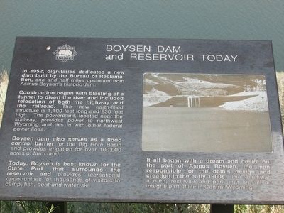
1. Boysen Dam and Reservoir Today Marker
In 1952, dignitaries dedicated a new dam built by the Bureau of Reclamation, one and half miles upstream from Asmus Boysen’s historic dam.
Construction began with blasting of a tunnel to divert the river and included relocation of both the highway and the railroad. The new earth-filled structure is 1,100 feet long and 230 feet high. The powerplant, located near the spillway, provides power to northwest Wyoming and ties in with other federal power lines.
Boysen dam also serves as a flood control barrier for the Big Horn Basin and provides irrigation for over 100,000 acres of farm land.
Today, Boysen is best known for the State Park that surrounds the reservoir and provides recreational opportunities for thousands of visitors to camp, fish, boat and water-ski.
It all began with a dream and desire on the part of Asmus Boysen, the man responsible for the dam’s design and creation in the early 1900s. The result was a dam, reservoir and park that are all an integral part of life in Central Wyoming.
Topics. This historical marker is listed in this topic list: Man-Made Features.
Location. 43° 24.67′ N,
this page online

Regionally, this marker is in Wind River Country. It is also in the American Mountain West. Globally, it is in North America, the Rocky Mountains, the Western Hemisphere, the Western World, and the Anglosphere.
Other nearby markers. At least 8 other markers are within 13 miles of this marker, measured as the crow flies: Geology of the Wind River Canyon (here, next to this marker); Wind River Canyon (a few steps from this marker); “Wild Sheep and Wild Fire” (a few steps from this marker); Site of Original Boysen Dam (approx. 2.1 miles away); Boysen's Historic Dam (approx. 2.2 miles away); Wedding of the Waters (approx. 12.4 miles away); a different marker also named Wedding of the Waters (approx. 12½ miles away); Shoshoni (approx. 12.7 miles away). Touch for a list and map of all markers in Shoshoni.
More about this marker. A picture of Boysen Dam appears at the
Photographed by Bill Coughlin, August 2, 2015
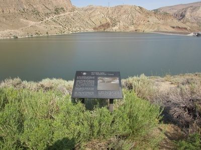
2. Boysen Dam and Reservoir Today Marker
Photographed by Bill Coughlin, August 2, 2015
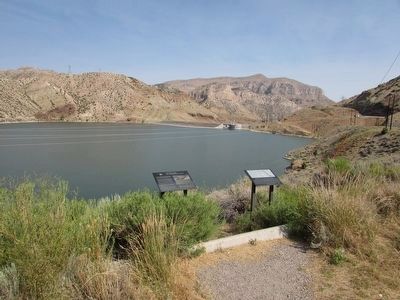
3. Markers at Boysen Reservoir
There are several markers at this location. The Boysen Dam marker is seen here on the left.
Photographed by Bill Coughlin, August 2, 2015
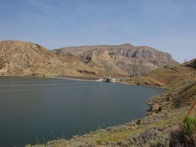
4. Boysen Dam and Reservoir
Credits. This page was last revised on June 16, 2016. It was originally submitted on September 3, 2015, by Bill Coughlin of Woodland Park, New Jersey. This page has been viewed 651 times since then and 41 times this year. Photos: 1, 2, 3, 4. submitted on September 3, 2015, by Bill Coughlin of Woodland Park, New Jersey.
