Dayton in Sheridan County, Wyoming — The American West (Mountains)
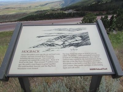
Hogback
About 500 million years ago the air and land were warmer, and seas covered all of Wyoming including the area you see. You would not recognize any animal life at that time. None of it lived on the land. Then around 75 million years ago, the earth’s crust began to grind together. The earth buckled, heaved, and the Big Horn Mountains were formed.
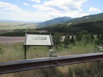
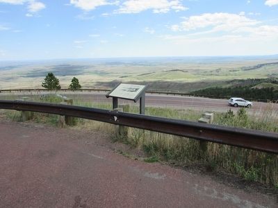
The long sharp red ridges in front of you are called “Hogbacks.” Other geological formations to look for are steep escarpments, sheer almost vertical sides caused by the fault that runs along this side of the Big Horn Mountains, synclines, downfolds in the earth’s crust that cause valleys, and Cuestas, long gentle upslopes of alternating hard and soft rocks.
Erected by Bighorn National Forest.
Topics. This historical marker is listed in this topic list: Natural Features.
Location. 44° 49.673′ N, 107° 19.698′ W. Marker is in Dayton, Wyoming, in Sheridan County. Marker is on U.S. 14, on the left when traveling west. Touch for map. Marker is in this post office area: Dayton WY 82836, United States of America. Touch for directions.
Other nearby markers. At least 8 other markers are within 8 miles of this marker, measured as the crow flies. Syncline Thrust Fault (approx. half a mile away); Fallen City (approx. 1.6 miles away); Dayton Community Hall (approx. 4.6 miles away); First Woman Mayor in Wyoming (approx. 4.6 miles away); Tongue River Crossing (approx. 6.7 miles away); Stagecoach Roads in Sheridan County (approx. 6.7 miles away); Bozeman Trail (approx. 6.8 miles away); Ohlman Postoffice and Stage Station (approx. 7.8 miles away). Touch for a list and map of all markers in Dayton.
Credits. This page was last revised on June 16, 2016. It was originally submitted on September 4, 2015, by Bill Coughlin of Woodland Park, New Jersey. This page has been viewed 394 times since then and 44 times this year. Photos: 1, 2, 3. submitted on September 4, 2015, by Bill Coughlin of Woodland Park, New Jersey.


