Moran in Teton County, Wyoming — The American West (Mountains)
Potholes
Grand Teton National Park
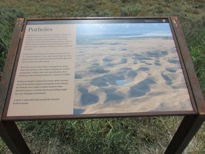
Curious depressions known as “Potholes,” dimple the glacial outwash plain here. Some 15,000 years ago, sediment carried by glacial meltwater buried huge blocks of ice that calved off retreating glaciers. As the ice melted, the ground sank leaving depressions behind known locally as ‘potholes,’ but known more commonly as ‘kettles.’
Kettles are bowl-shaped and range in size from 15 feet to ¼ mile in diameter. These depressions begin as steep-sided features but wind and water smooth the edges and deposit sediment in the bottom.
Trees take root in some kettles creating forest islands, while water pools in other kettles forming tiny wetland communities. On the semi-arid outwash plain, these islands provide food and shelter for a variety of wildlife.
Kettles are fragile, isolated ecosystems under constant stress from human impacts. Essentially fossil icebergs, the Potholes here relate to kettles found in other glaciated regions of North America providing insight into our changing environment.
A short ¼ mile trail leads around the forested Potholes nearby.
Erected by National Park Service.
Topics. This historical marker is listed in this topic list: Natural Features.
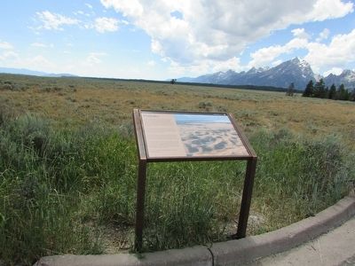
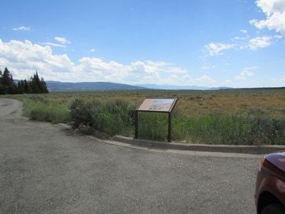
Location. 43° 48.402′ N, 110° 37.701′ W. Marker is in Moran, Wyoming, in Teton County. Marker is on Teton Park Road, on the left when traveling south. Marker is located in the Potholes Turnout in Grand Teton National Park. Touch for map. Marker is in this post office area: Moran WY 83013, United States of America. Touch for directions.
Other nearby markers. At least 8 other markers are within 5 miles of this marker, measured as the crow flies. Mount Moran (approx. 0.7 miles away); Teton Fault (approx. 3½ miles away); Tetons Inspiring Creativity (approx. 3.6 miles away); Capturing Nature in a Box (approx. 3.6 miles away); Meandering Snake (approx. 3.7 miles away); Valley View (approx. 3.8 miles away); From Rancher to Conservationist (approx. 4.1 miles away); The Cathedral Group (approx. 4.4 miles away). Touch for a list and map of all markers in Moran.
More about this marker. A picture of many potholes appears at the bottom of the marker.
Credits. This page was last revised on June 16, 2016. It was originally submitted on September 5, 2015, by Bill Coughlin of Woodland Park, New Jersey. This page has been viewed 353 times since then and 11 times this year. Photos: 1, 2, 3. submitted on September 5, 2015, by Bill Coughlin of Woodland Park, New Jersey.


