Auriesville in Montgomery County, New York — The American Northeast (Mid-Atlantic)
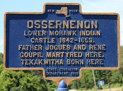
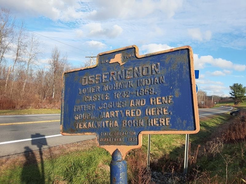
Ossernenon
Lower Mohawk Indian
Castle 1642-1659.
Father Jogues and Rene
Goupil martyred here.
Tekakwitha born here.
Erected 1932 by State Education Department.
Topics. This historical marker is listed in these topic lists: Colonial Era • Native Americans.
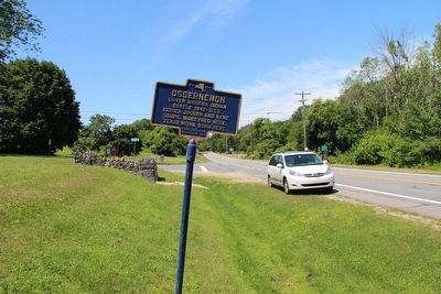
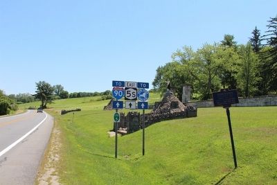
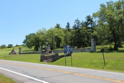
Location. 42° 55.682′ N, 74° 18.269′ W. Marker is in Auriesville, New York, in Montgomery County. Marker is on New York State Route 5S near Noeltner Road (County Route 164), on the right when traveling east. This marker is very near the southeast corner of the intersection between county road 164 and state route 5S, and is very near the site of the Martyrs Shrine. Touch for map. Marker is in this post office area: Auriesville NY 12016, United States of America. Touch for directions.
Other nearby markers. At least 8 other markers are within 2 miles of this marker, measured as the crow flies. Isaac Jogues (within shouting distance of this marker); Kateri Tekakwitha (within shouting distance of this marker); The National Martyrs' Shrine of America (approx. 0.3 miles away); Danascara Place (approx. one mile away); The Schoharie Aqueduct (approx. 1.1 miles away); a different marker also named The Schoharie Aqueduct (approx. 1.3 miles away); Lock 30 (approx. 1.4 miles away); Schoharie Crossing (approx. 1.4 miles away). Touch for a list and map of all markers in Auriesville.
Credits. This page was last revised on November 14, 2022. It was originally submitted on September 6, 2015, by Dale K. Benington of Toledo, Ohio. This page has been viewed 1,177 times since then and 154 times this year. Photos: 1, 2, 3. submitted on September 6, 2015, by Dale K. Benington of Toledo, Ohio. 4. submitted on September 7, 2015, by Dale K. Benington of Toledo, Ohio. 5. submitted on November 13, 2022, by Scott J. Payne of Deposit, New York.
