River South District in Columbus in Franklin County, Ohio — The American Midwest (Great Lakes)
Columbus Feeder Canal / The Ohio- Erie Canal
Inscription.
(side A)
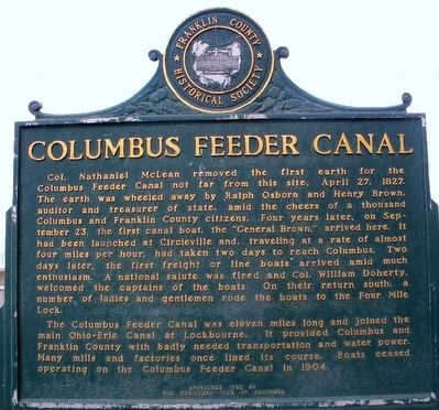
Columbus Feeder Canal
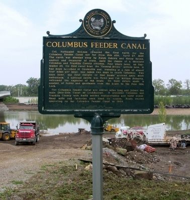
Col. Nathaniel McLean removed the first earth for the Columbus Feeder Canal not far from this site, April 27, 1827. The earth was wheeled away by Ralph Osborn and Henry Brown, auditor and treasurer of the state, amid the cheers of a thousand Columbus and Franklin County citizens. Four years later on September 23, the first canal boat, the “General Brown” arrived here. It had been launched in Circleville and, traveling at a rate of almost four miles per hour, had taken two days to reach Columbus. Two days later, the first freight or line boats arrived amid much enthusiasm. A national salute was fired and Col. William Doherty, welcomed the captains of the boats. On their return south, a number of ladies and gentlemen rode the boats to the Four Mile Lock.
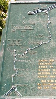
The Columbus Feeder Canal was eleven miles long and joined the main Ohio-Erie Canal at Lockbourne. It provided Columbus and Franklin County with badly needed transportation and water power. Many mills and factories once lined the course. Boats ceased operating on the Columbus Feeder Canal in 1904.
(side B)
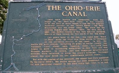
The Ohio-Erie Canal
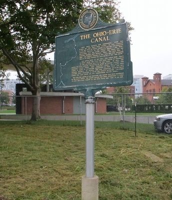
Amide much fanfare and celebration, work was begun on the Ohio- Erie Canal. It was destined to be the first of three canals to link the two greatest waterway systems in the United States — the Ohio-Mississippi and the Great Lakes. The place was the Licking Summit near Newark, Ohio: the date July 4, 1825. Gov. Dewitt Clinton of New York and Gov. Jeremiah Morrow of Ohio turned the first earth of the “big ditch.”
Two years later to the day, the canal boat “State of Ohio” made the first trip from Akron to Cleveland on the northern section of the canal. In 1831, the entire 331 mile system, including 25 miles of feeder canals, was finished. Corn, wheat, oats, tobacco, flour, and pork then began to move in increasing quantities to New York and New Orleans markets. In return, salt and numerous manufactured articles were received to boom the state’s economy. Passenger travel was also brisk on the comfortable packet boats.
But with the coming of the railroads, the canals’ days were numbered. By the early 1900’s, the entire system had been abandoned. A colorful and important chapter in the Ohio story had come to an end.
Erected 1959 by The Engineers Club of Columbus, The Franklin County Historical Society.
Topics. This historical marker is listed in these topic lists: Industry & Commerce • Waterways & Vessels. A significant historical date for this entry is April 27, 1827.
Location.
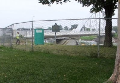
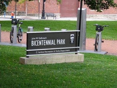
39° 57.355′ N, 83° 0.299′ W. Marker is in Columbus, Ohio, in Franklin County. It is in the River South District. Marker is at the intersection of West Main Street (U.S. 62) and South Civic Center Drive, on the right when traveling west on West Main Street. Marker is located along the Lower Scioto Greenway in John W. Galbreath Bicentennial Park. Touch for map. Marker is at or near this postal address: 233 S Civic Center Dr, Columbus OH 43215, United States of America. Touch for directions.
Other nearby markers. At least 8 other markers are within walking distance of this marker. Battleship U.S.S. Ohio (about 600 feet away, measured in a direct line); Town Street Bridge (about 800 feet away); Columbus Civic Center Historic District (approx. 0.2 miles away); Riversouth Bioretention Basins (approx. 0.2 miles away); Julian & Kokenge Company (approx. 0.2 miles away); The Great Southern Hotel (approx. 0.3 miles away); Johann Christian Heyl (approx. 0.3 miles away); The Supreme Court of Ohio (approx. 0.3 miles away). Touch for a list and map of all markers in Columbus.
Additional keywords. Ohio- Erie Canal
Credits. This page was last revised on February 3, 2023. It was originally submitted on September 6, 2015, by Rev. Ronald Irick of West Liberty, Ohio. This page has been viewed 1,134 times since then and 52 times this year. Photos: 1, 2, 3, 4, 5, 6, 7, 8. submitted on September 6, 2015, by Rev. Ronald Irick of West Liberty, Ohio. • Bernard Fisher was the editor who published this page.
