Near Munfordville in Hart County, Kentucky — The American South (East South Central)
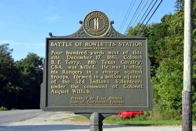
Battle of Rowletts Station
Photographed by Duane Hall, August 9, 2015
1. Battle of Rowletts Station Marker
Sons of Confederate Veterans
Erected 1974 by Kentucky Historical Society and Kentucky Department of Highways. (Marker Number 1504.)
Topics and series. This historical marker is listed in this topic list: War, US Civil. In addition, it is included in the Kentucky Historical Society, and the Sons of Confederate Veterans/United Confederate Veterans series lists. A significant historical date for this entry is December 17, 1861.
Location. 37° 15.051′ N, 85° 53.332′ W. Marker is near Munfordville, Kentucky, in Hart County. It is on S. Dixie Highway (U.S. 31W) 0.2 miles south of Charlie Dowling Road, on the left when traveling south. Touch for map. Marker is in this post office area: Munfordville KY 42765, United States of America. Touch for directions.

Regionally, this marker is in Mammoth Cave Country and in the Pennyroyal Region.
this page online
Other nearby markers. At least 8 other markers are within walking distance of this marker: A different marker also named Battle of Rowletts Station (about 600 feet away, measured in a direct line); Battle of Munfordville (approx. 0.2 miles away); Rowlett's Station (approx. 0.3 miles away); Battle of Munfordville: Day 1 (approx. 0.4 miles away); Anthony Woodson Farm (approx. 0.4 miles away); The Woodson Farm/The Preserve (approx. 0.4 miles away); Kentucky and the Western War (approx. 0.4 miles away); Battle of Munfordville: Siege (approx. 0.4 miles away). Touch for a list and map of all markers in Munfordville.
Related markers. Click here for a list of markers that are related to this marker. This list includes a historical marker about Terry’s Texas Rangers and a memorial erected by the State of Texas for its soldiers who served on
Photographed by Duane Hall, August 9, 2015
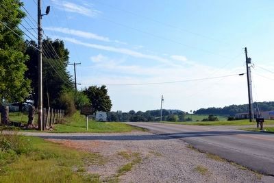
2. Battle of Rowletts Station Marker on S. Dixie Highway (US 31W)
Also see . . .
1. Battle of Rowlett's Station - Wikipedia entry. (Submitted on September 6, 2015.)
2. Battle for the Bridge Historic Preserve. Official website of the nearby preserve which includes lands of the Battle of Rowlett's Station. (Submitted on September 6, 2015.)
Photographed by Duane Hall, August 9, 2015
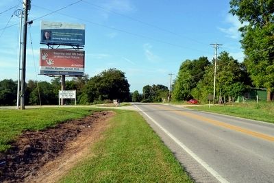
3. View to North Along S. Dixie Highway (US 31W)
Photographed by Duane Hall, August 9, 2015
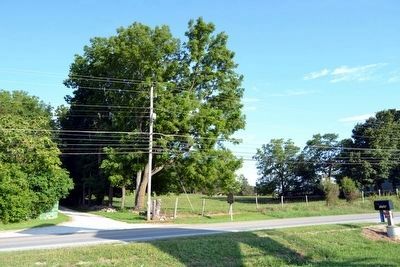
4. Battle of Rowletts Station Marker
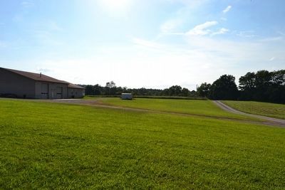
Photographed by Duane Hall, August 9, 2015
5. View to West from near Marker Location
Credits. This page was last revised on June 16, 2016. It was originally submitted on September 6, 2015, by Duane Hall of Abilene, Texas. This page has been viewed 1,200 times since then and 45 times this year. Photos: 1, 2, 3, 4, 5. submitted on September 6, 2015, by Duane Hall of Abilene, Texas.
