Mammoth in Yellowstone National Park in Park County, Wyoming — The American West (Mountains)
Plateau of Fire
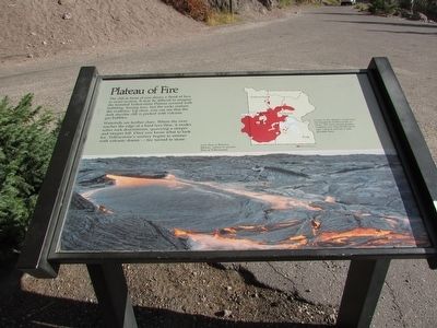
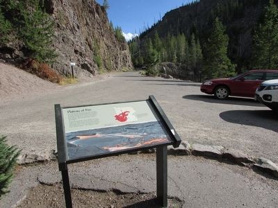
The cliff in front of you shows a flood of lava in cross-section. It may be difficult to imagine the forested Yellowstone Plateau covered with bubbling, hissing lava, but the rocks contain the evidence. Up close, you can see that the dark rhyolite cliff is pocked with volcanic bubbles.
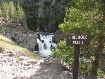
Waterfalls are further clues. Where the river reaches the edge of a hard lava flow, it erodes softer rock downstream, quarrying a steeper and steeper fall. Once you know what to look for, Yellowstone’s scenery begins to simmer with volcanic drama – fire turned to stone.
Cracks in the plateau oozed lava for hundreds of thousands of years. The most recent magma eruption was only 60,000 years ago; volcanic activity is still possible here.
Erected by National Park Service.
Topics. This historical marker is listed in this topic list: Natural Features.
Location. 44° 37.768′ N, 110° 51.764′ W. Marker is in Yellowstone National Park, Wyoming, in Park County. It is in Mammoth. Marker is on Firehole Canyon Drive, on the left when traveling south. Touch for map. Marker is in this post office area: Yellowstone National Park WY 82190, United States of America. Touch for directions.
Other nearby markers. At least 8 other markers are within 6 miles of this marker, measured as the crow flies. The Madison Elk Herd (approx. 1.1 miles away); Chance Encounter (approx. 4.3 miles away); a different marker also named Chance Encounter (approx. 4.3 miles away); Nez Perce War (approx. 4.3 miles away); Captive Tourists (approx. 4.3 miles away); Murky Past . . . Promising Future (approx. 4½ miles away); Gibbon Falls (approx. 4.8 miles away); Earthquake’s Offspring (approx. 6.1 miles away). Touch for a list and map of all markers in Yellowstone National Park.
More about this marker. A photograph at the bottom of the marker depicts “Lava flows at Kilauea, Hawaii, similar to ancient flow at Yellowstone.” The upper right of the marker contains a map of Yellowstone showing the location of the marker and the extent of Rhyolite flows.
Credits. This page was last revised on February 16, 2023. It was originally submitted on September 9, 2015, by Bill Coughlin of Woodland Park, New Jersey. This page has been viewed 454 times since then and 10 times this year. Photos: 1, 2, 3. submitted on September 9, 2015, by Bill Coughlin of Woodland Park, New Jersey.


