Mammoth in Yellowstone National Park in Park County, Wyoming — The American West (Mountains)
Porkchop Geyser
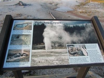
Shaped like a porkchop, this quiet spring was named “Dr. Morey’s Porkchop” in 1961. But this calm spring held many surprise, beginning with an eruption in 1971.
For the next 14 years, Porkchop occasionally erupted through its tiny vent, earning the name “Porkchop Geyser.”
In 1985, Porkchop Geyser erupted and did not stop until exploding several years later!”
Blown Apart
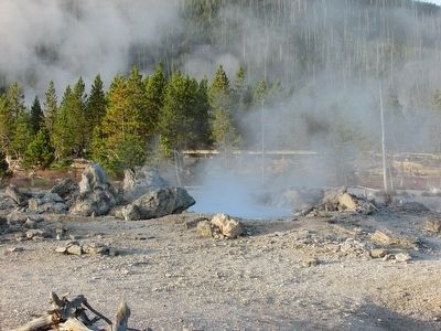
Imagine a geyser exploding and hurling rocks toward you. That happened to eight park visitors on September 5, 1989. Porkchop’s narrow vent became constricted, throttling its flow of water and steam. Heat and pressure intensified until Porkchop blew up, throwing rocks more than 200 feet.
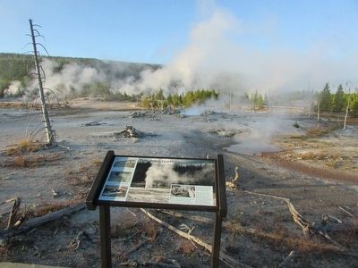
Fortunately, the astonished visitors were not hurt. The upended rocks you see today are a result of the small hydrothermal explosion they witnessed. Porkchop’s eruptions are now rare – sometimes years apart. Nobody knows what other surprises Porkchop has in store – only time will tell.
Erected by National Park Service.
Topics. This historical marker is listed in this topic list: Natural Features. A significant historical date for this entry is September 5, 1989.
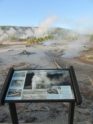
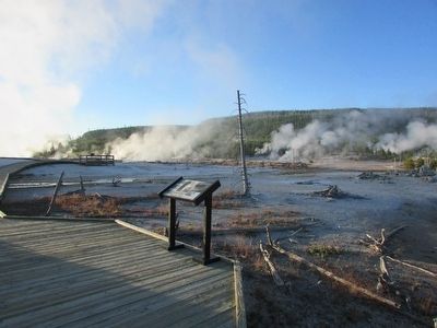
Location. 44° 43.342′ N, 110° 42.49′ W. Marker is in Yellowstone National Park , Wyoming, in Park County. It is in Mammoth. Marker can be reached from Grand Loop Road (U.S. 89), on the left when traveling north. Marker is located in the Back Basin at Norris Geyser Basin in Yellowstone National Park. Touch for map. Marker is in this post office area: Yellowstone National Park WY 82190, United States of America. Touch for directions.
Other nearby markers. At least 8 other markers are within walking distance of this marker. A different marker also named Porkchop Geyser (within shouting distance of this marker); Cistern Spring (approx. 0.2 miles away); Minute Geyser (approx. 0.2 miles away); Steamboat Geyser (approx. Ľ mile away); Echinus (approx. 0.3 miles away); Echinus (approx. 0.3 miles away); Emerald Spring (approx. 0.3 miles away); Yellowstone National Park (approx. 0.4 miles away). Touch for a list and map of all markers in Yellowstone National Park.
More about this marker. The background of the marker features a photograph of an erupting Porkchop Geyser.
Credits. This page was last revised on February 16, 2023. It was originally submitted on September 9, 2015, by Bill Coughlin of Woodland Park, New Jersey. This page has been viewed 458 times since then and 21 times this year. Photos: 1, 2, 3, 4, 5. submitted on September 9, 2015, by Bill Coughlin of Woodland Park, New Jersey.
