Mammoth in Yellowstone National Park in Park County, Wyoming — The American West (Mountains)
Minute Geyser
Choked by Ignorance
Photographed by Bill Coughlin, July 31, 2015
1. Minute Geyser Marker
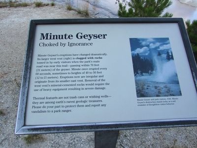
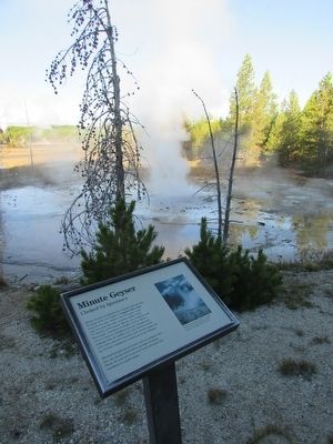
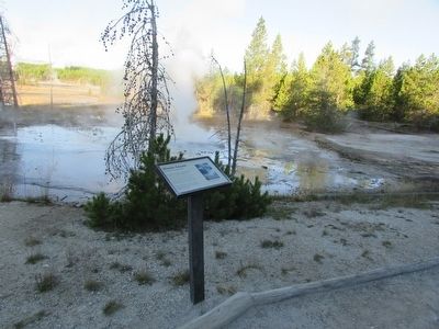
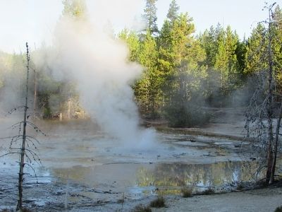
Minute Geyser’s eruptions have changed dramatically. Its larger west vent (right) is clogged with rocks tossed in by early visitors when the park’s main road was near this trail – passing within 70 feet (21 meters) of the geyser. Minute once erupted every 60 seconds, sometimes to heights of 40 to 50 feet (12 to 15 meters). Eruptions now are irregular and originate from its smaller east vent. Removal of the west vent’s mineral-cemented rocks would require the use of heavy equipment resulting in severe damage.
Thermal features are not trash cans or wishing wells – they are among earth’s rarest geologic treasures. Please do your part to protect them and report any vandalism to a park ranger.
Erected by National Park Service.
Topics. This historical marker is listed in this topic list: Natural Features.
Location. 44° 43.496′ N, 110° 42.352′ W. Marker is in Yellowstone National Park, Wyoming, in Park County. It is in Mammoth. It can be reached from Grand Loop Road (U.S. 89), on the left when traveling north. Marker is located in the Back Basin at Norris Geyser
this page online

Regionally, this marker is in the Bighorn Basin and in Greater Yellowstone. It is also in the American Mountain West and in the Lewis & Clark Corridor. Globally, it is in North America, the Rocky Mountains, the Western Hemisphere, the Western World, and the Anglosphere.
Other nearby markers. At least 8 other markers are within walking distance of this marker: Emerald Spring (about 500 feet away, measured in a direct line); Yellowstone National Park (approx. 0.2 miles away); Cistern Spring (approx. 0.2 miles away); The National Park System (approx. 0.2 miles away); Steamboat Geyser (approx. 0.2 miles away); Norris Geyser Basin (approx. 0.2 miles away); a different marker also named Norris Geyser Basin (approx. 0.2 miles away); The Norris Area (approx. 0.2 miles away). Touch for a list and map of all markers in Yellowstone National Park.
More about this marker. A photo of an erupting Minute Geyser appears at the right side of the marker. It has a caption
Photographed by Bill Coughlin, July 31, 2015
2. Minute Geyser Marker
Photographed by Bill Coughlin, July 31, 2015
3. Marker at the Norris Geyser Basin
Photographed by Bill Coughlin, July 31, 2015
4. Minute Geyser
Credits. This page was last revised on February 16, 2023. It was originally submitted on September 9, 2015, by Bill Coughlin of Woodland Park, New Jersey. This page has been viewed 750 times since then and 33 times this year. Photos: 1, 2, 3, 4. submitted on September 9, 2015, by Bill Coughlin of Woodland Park, New Jersey.
