Perryville in Boyle County, Kentucky — The American South (East South Central)
The H. P. Bottom House
Perryville • The Battle For Kentucky
— October 8, 1862 —
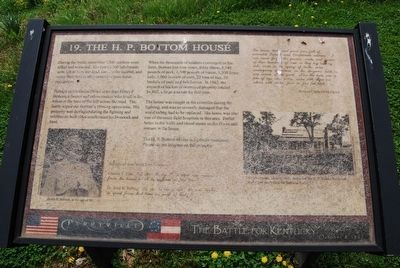
During the battle, more than 7,500 soldiers were killed or wounded. The town's 300 inhabitants were left to bury the dead, care for the injured, and repair their homes after months of post-battle occupation.
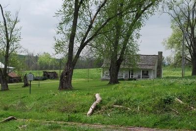
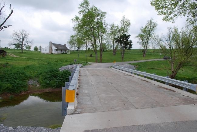
Perhaps no civilian suffered more than Henry P. Bottom, a farmer and cabinetmaker who lived in the house at the base of the hill across the road. The battle wiped out Bottom's farming operations. His property was damaged during the fighting and soldiers on both sides confiscated his livestock and food.
When the thousands of soldiers converged on his farm, Bottom lost nine cows, thirty sheep, 8,540 pounds of pork, 4,500 pounds of bacon, 1,300 fence rails, 3,000 bushels of corn, 22 tons of hay, 50 bushels of oats, and two horses. In 1862, the amount of his lost or destroyed property totaled $4,862, a large amount for that time.
The house was caught in the crossfire during the fighting, and was so severely damaged that the wood siding had to be replaced. His home was also one of the main field hospitals in this area. Bullet holes in the walls and blood stains on the floors still remain in the house.
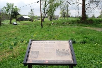
The H. P. Bottom House is a private residence. Please do not trespass on the property.
"The house, land and yard were full of wounded Federal and Confederate soldiers. I can never forget the groans, wails and moans of these hundreds of men as they lay side by side, some in the agony of death, some undergoing operations on the surgeons table in one corner of the yard. Near the table was a pile of legs and arms, some with shoes on, others, with socks, four or five feet high."
William Caldwell McChord
(captions)
(lower left) Henry P. Bottom, at the age of 90
(Marker Number 19.)
Topics. This historical marker is listed in this topic list: War, US Civil. A significant historical date for this entry is October 8, 1862.
Location. 37° 39.94′ N, 84° 58.216′ W. Marker is in Perryville, Kentucky, in Boyle County. Marker is on Hays Mays Road, 0.7 miles east of Whites Road, on the left when traveling east. Touch for map. Marker is in this post office area: Perryville KY 40468, United States of America. Touch for directions.
Other nearby markers. At least 8 other markers are within walking distance of this marker. Baptism of Fire (a few steps from this marker); Bottom House (within shouting distance of this marker); The 15th Kentucky Infantry (US) (about 400 feet away, measured in a direct line); Assault from the Bottom House (about 400 feet away); Assault From The Bottom House (about 400 feet away); Michigan at Perryville (about 500 feet away); Artillery Duel at Loomis Heights (about 700 feet away); Simonson’s Battery (approx. 0.2 miles away). Touch for a list and map of all markers in Perryville.
Credits. This page was last revised on February 25, 2021. It was originally submitted on September 10, 2015, by Brandon Fletcher of Chattanooga, Tennessee. This page has been viewed 822 times since then and 61 times this year. Photos: 1, 2, 3, 4, 5. submitted on September 10, 2015, by Brandon Fletcher of Chattanooga, Tennessee. • Bernard Fisher was the editor who published this page.
