Barnegat Light in Ocean County, New Jersey — The American Northeast (Mid-Atlantic)
How Much Water Flows Through Barnegat Inlet
Inscription.
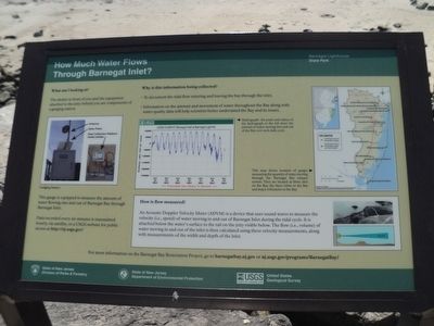
What am I looking at?
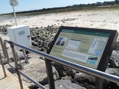
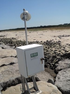
The shelter in front of you and the equipment attached to the jetty behind you are components of a gauging station.
The gauge is equipped to measure the amount of water flowing into and out of Barnegat Bay through Barnegat Inlet.
Data recorded every six minutes is transmitted hourly, via satellite, to a USGS website for public access at http://nj.usgs.gov/
Why is this information being collected?
• To document the tidal flow entering and leaving the bay through the inlet.
• Information on the amount and movement of water throughout the Bay along with water quality data will help scientists better understand the Bay and its issues.
How is flow measured?
An Acoustic Doppler Velocity Meter (ADVM) is a device that uses sound waves to measure the velocity (i.e., speed) of water moving in and out of Barnegat Inlet during the tidal cycle. It is attached below the water’s surface to the rail on the jetty visible below. The flow (i.e., volume) of water moving in and out of the inlet is the calculated using these velocity measurements, along with measurements of the width and depth of the inlet.
Erected by State of New Jersey.
Topics. This historical marker is listed in these topic lists: Environment • Waterways & Vessels.
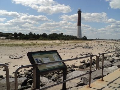
Location. 39° 45.851′ N, 74° 6.233′ W. Marker is in Barnegat Light, New Jersey, in Ocean County. Marker can be reached from Broadway (County Route 607), on the right when traveling north. Marker is located in Barnegat Lighthouse State Park. Touch for map. Marker is in this post office area: Barnegat Light NJ 08006, United States of America. Touch for directions.
Other nearby markers. At least 8 other markers are within walking distance of this marker. Birds of the Beach (here, next to this marker); A Vanishing Summer Visitor (about 300 feet away, measured in a direct line); U.S. Merchant Marine WW II Memorial (about 500 feet away); Vigilant Guardian (about 600 feet away); Maj. Gen. George Gordon Meade (about 600 feet away); Barnegat Lighthouse (about 600 feet away); Maritime Forest Trail (about 600 feet away); Old Salty Survivors (about 600 feet away). Touch for a list and map of all markers in Barnegat Light.
More about this marker. A photo of a Gauging Station can be seen on the left side of the marker. A Hydrograph is at the center of the marker. The peaks and valleys of the hydrograph show the amount of water moving into and out of the Bay over each daily cycle. On the right side of the marker is a map that shows the location of gauges measuring the quantity of water moving through
the Barnegat Bay estuary system. They are located at three sites on the Bay, the three inlets to the Bay and major tributaries to the Bay.
Credits. This page was last revised on June 16, 2016. It was originally submitted on September 12, 2015, by Bill Coughlin of Woodland Park, New Jersey. This page has been viewed 381 times since then and 19 times this year. Photos: 1, 2, 3, 4. submitted on September 12, 2015, by Bill Coughlin of Woodland Park, New Jersey.


