
Near 150 Mile House in Cariboo, British Columbia — Canada’s West Coast (North America)
To the Goldfields!
Photographed by Dawn Bowen, July 3, 2008
1. To the Goldfields! Marker
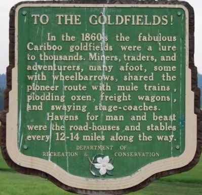
In the 1860s, the fabulous Cariboo goldfields were a lure to thousands. Miners, traders, and adventurers, many afoot, some with wheelbarrows, shared the pioneer route with mule trains, plodding oxen, freight wagons, and swaying stage-coaches.
Havens for man and beast were the road-houses and stables every 12-14 miles along the way.
Erected by British Colombia Department of Recreation & Conservation.
Topics. This historical marker is listed in these topic lists: Industry & Commerce • Notable Events.
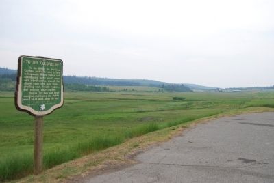
Location. 51° 56.333′ N, 121° 46.267′ W. Marker is near 150 Mile House, British Columbia, in Cariboo. It is on Provincial Highway 97 23.3 kilometers south of 150 Mile House, on the right when traveling south. Touch for map. Marker is in this post office area: 150 Mile House BC V0K 2G0, Canada. Touch for directions.

Regionally, this marker is in the BC Interior and in Cariboo Chilcotin Coast. Globally, it is in North America, on the Ring of Fire, in the Pacific Rim, in the Western Hemisphere, in the Western World, and in the Anglosphere. Historically,
this page online
Photographed by Dawn Bowen, July 3, 2008
2. To the Goldfields! Marker
Credits. This page was last revised on March 11, 2025. It was originally submitted on July 5, 2008, by Dawn Bowen of Fredericksburg, Virginia. This page has been viewed 1,610 times since then and 31 times this year. Photos: 1, 2. submitted on July 5, 2008, by Dawn Bowen of Fredericksburg, Virginia. • Christopher Busta-Peck was the editor who published this page.
