Watford City in McKenzie County, North Dakota — The American Midwest (Upper Plains)
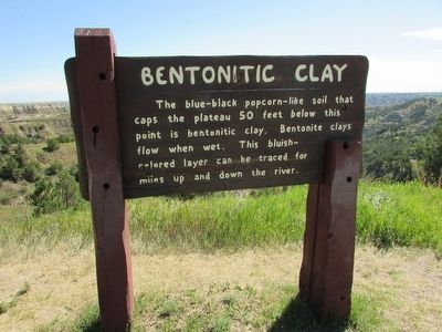
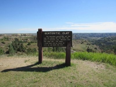
Bentonitic Clay
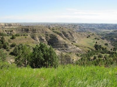
The blue-black popcorn-like soil that caps the plateau 50 feet below this point is bentonitic clay. Bentonite clays flow when wet. This bluish-colored layer can be traced for miles up and down the river.
Erected by National Park Service.
Topics. This historical marker is listed in this topic list: Natural Features.
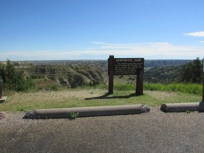
Location. 47° 37.415′ N, 103° 22.778′ W. Marker is in Watford City, North Dakota, in McKenzie County. Marker is on Scenic Drive, on the right when traveling north. Marker is located at the Bentonitic Clay Overlook in the North Unit of Theodore Roosevelt National Park. Touch for map. Marker is in this post office area: Watford City ND 58854, United States of America. Touch for directions.
Other nearby markers. At least 8 other markers are within 4 miles of this marker, measured as the crow flies. Man and Grass (approx. 0.7 miles away); Building From Hard Times (approx. one mile away); The View that Launched a Park (approx. one mile away); North Dakota Badlands (approx. 1.9 miles away); Long X Cattle Trail (approx. 2.1 miles away); Edge of a Glacier (approx. 2.7 miles away); “Cannon Ball” Concretions (approx. 2.9 miles away); Roosevelt and the Boat Thieves (approx. 3.2 miles away). Touch for a list and map of all markers in Watford City.
Credits. This page was last revised on June 16, 2016. It was originally submitted on September 14, 2015, by Bill Coughlin of Woodland Park, New Jersey. This page has been viewed 336 times since then and 17 times this year. Photos: 1, 2, 3, 4. submitted on September 14, 2015, by Bill Coughlin of Woodland Park, New Jersey.


