New Providence in Union County, New Jersey — The American Northeast (Mid-Atlantic)
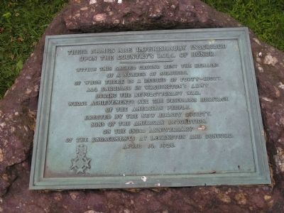
The Country’s Roll of Honor
upon the country’s Roll of Honor.
---------------
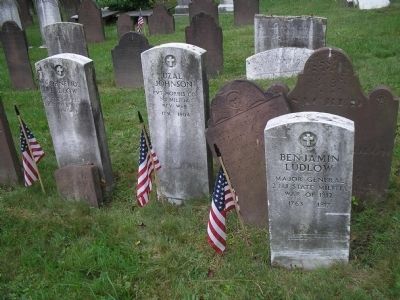
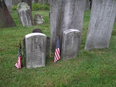
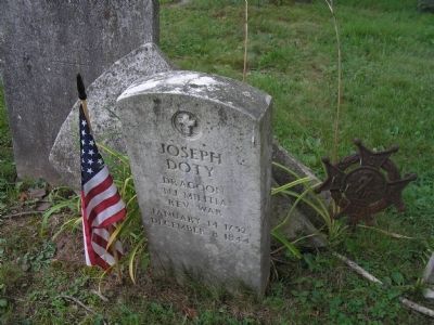
Within this sacred ground rest the remains of a number of soldiers, of whom there is a record of forty-eight, all enrolled in Washington’s Army during the Revolutionary War, whose achievements are the priceless heritage of the American people.
Erected by the New Jersey Society, Sons of the American Revolution, on the 153rd anniversary of the engagements at Lexington and Concord.
April 19, 1928.
Erected 1928 by New Jersey Society, Sons of the American Revolution.
Topics and series. This historical marker is listed in these topic lists: Cemeteries & Burial Sites • Churches & Religion • War, US Revolutionary. In addition, it is included in the Sons of the American Revolution (SAR) series list. A significant historical month for this entry is April 1877.
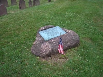
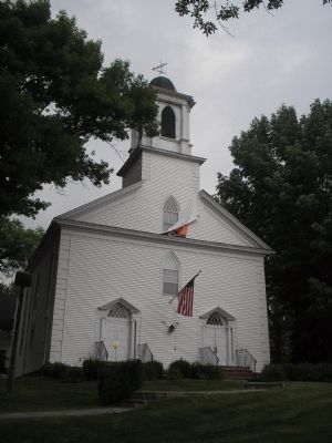
Location. 40° 42.379′ N, 74° 24.389′ W. Marker is in New Providence, New Jersey, in Union County. Marker can be reached from the intersection of Passaic Avenue (County Route 647) and Springfield Avenue (County Route 512), on the right when traveling south. Marker is in the cemetery behind the Presbyterian Church, next to the driveway on Passaic Avenue. Touch for map. Marker is in this post office area: New Providence NJ 07974, United States of America. Touch for directions.
Other nearby markers. At least 8 other markers are within 2 miles of this marker, measured as the crow flies. New Providence Presbyterian Church (within shouting distance of this marker); New Providence 9-11 Memorial (approx. 0.2 miles away); New Providence Veterans Memorial Park (approx. 0.3 miles away); New Providence United Methodist Cemetery & Memorial Garden (approx. 0.4 miles away); Bey's Boxing Camp (approx. 0.6 miles away); Mount Vernon School (approx. 1.1 miles away); Price-Baldwin House (approx. 1.1 miles away); Johnson House (approx. 1.2 miles away). Touch for a list and map of all markers in New Providence.
Credits. This page was last revised on June 16, 2016. It was originally submitted on July 5, 2008, by Bill Coughlin of Woodland Park, New Jersey. This page has been viewed 1,210 times since then and 7 times this year. Photos: 1, 2, 3, 4, 5, 6. submitted on July 5, 2008, by Bill Coughlin of Woodland Park, New Jersey.
