Near Jamestown in Newport County, Rhode Island — The American Northeast (New England)
Whale Rock Lighthouse
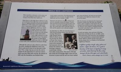
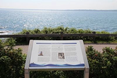
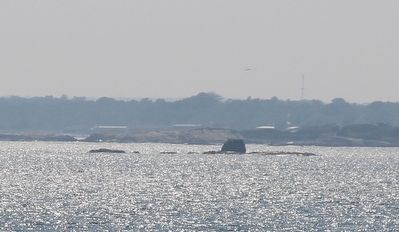
What resembles a submarine on the surface just over a mile southwest of this point is all that remains of the Whale Rock Lighthouse.
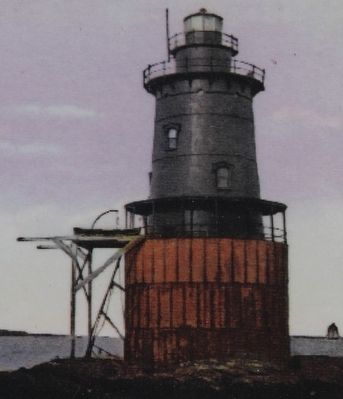
Whale Rock is a flat ledge about a half acre in size, yet it claimed at least eight ships and six lives before the U.S. Lighthouse Board recommended building a lighthouse in 1872. It then took Congress nine years to appropriate $35,000 to build it. Whale Rock is a caisson lighthouse, known as a "spark-plug" because of its shape. The structure had a three-story living area with kitchen and a water cistern below and a light (referred to as the lantern) on top. It was generally similar to Plum Beach Lighthouse built in 1899 that is just north of the Jamestown Verrazzano Bridge.
Although the rocks are only a third of a mile from the shore, building the lighthouse wasn't easy. Work could only be done at low tide and in calm seas. First, a large ring was cut into the rock to prepare for the placement of a cast-iron caisson, which was then filled with concrete. By autumn of 1881 only the foundation was finished when storms halted construction The following year the prefabricated cast iron tower was added and the lighthouse was lit on October 1, 1882.
Exposed to the full force of the weather, Whale Rock was not a desirable location for keepers. Storms often prevented personnel from going ashore and once there, it was often impossible to return for days. The round walls made it feel like living in a tube and the quarters were cold and cramped.
On September 21, 1938, the Great Hurricane of 1938 struck the Rhode Island coast with little warning. Whale Rock Light Assistant Keeper Walter B. Eberle was at his post that day. Eberle, a 20-year Navy veteran, his wife, and six children lived on the mainland. He had purposely relieved Keeper Dan Sullivan early, knowing a rising sea would hinder Sullivan from safely rowing ashore. The storm's 100 miles per hour plus winds and increasingly higher waves tore the structure to pieces and the cast iron tower washed away, along with Eberle. His body was never found. The remains of the lighthouse, lying on its side, are on the seabed.
After the structure was destroyed, the Coast Guard mounted a whistle buoy 300 yards east of Whale Rock to advise navigators of the hazard. This wave activated buoy produced sound using compressed air. However, local residents complained about the "mournful" noise that it made, and soon it was replaced with a gong buoy.
As each year passes, more and more of the base deteriorates and falls into the sea. In 2008, on the 70th anniversary of the hurricane, the Foundation for Coast Guard History commemorated Assistant Keeper Walter B. Eberle and the event with a
bronze plaque that is on display in the Beavertail Lighthouse Museum.
A lighthouse symbolizes strength, safety, guidance and salvation - a light in the darkness. It is a symbol of humanity, and the keepers are legendary for courage and sacrifice. Walter Eberle kept the flame of hope burning in the face of this region's worst natural disaster.
David S. Robinson, undersea archaeologist, September 25, 2008.
Erected by Beavertail Lighthouse Museum Association.
Topics and series. This historical marker is listed in these topic lists: Disasters • Industry & Commerce • Waterways & Vessels. In addition, it is included in the Lighthouses series list. A significant historical date for this entry is September 21, 1938.
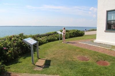
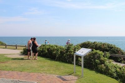
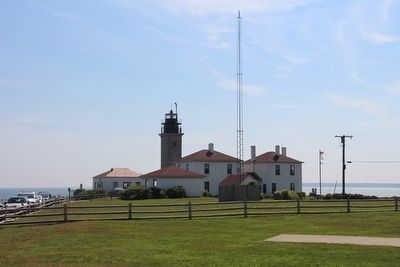
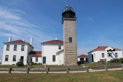
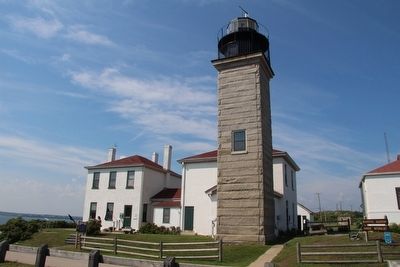
Location. 41° 26.967′ N, 71° 23.982′ W. Marker is near Jamestown, Rhode Island, in Newport County. Marker is on Beavertail Road south of Clarkes Village Road, on the left when traveling south. This marker is located in the Beavertail State Park, on the grounds of the Beavertail Lighthouse complex, just off of the southwest corner of the existing lighthouse building complex. Touch for map. Marker is in this post office area: Jamestown RI 02835, United States of America. Touch for directions.
Other nearby markers. At least 8 other markers are within walking distance of this marker. The Assistant Keeper's House (here, next to this marker); The West Passage to Narragansett Bay
(here, next to this marker); History of the Beavertail Light Station (a few steps from this marker); The Granite Light Tower (a few steps from this marker); Fog Signal Building (within shouting distance of this marker); The Keeper's House (within shouting distance of this marker); Oil Storage Building (within shouting distance of this marker); The 1749 Foundation (within shouting distance of this marker). Touch for a list and map of all markers in Jamestown.
Credits. This page was last revised on June 16, 2016. It was originally submitted on September 14, 2015, by Dale K. Benington of Toledo, Ohio. This page has been viewed 427 times since then and 28 times this year. Photos: 1, 2, 3, 4, 5, 6, 7, 8, 9, 10. submitted on September 15, 2015, by Dale K. Benington of Toledo, Ohio.
