Watford City in McKenzie County, North Dakota — The American Midwest (Upper Plains)
Long X Cattle Trail
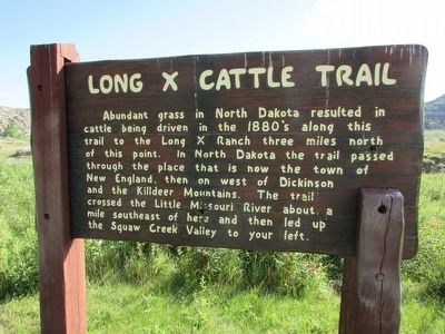
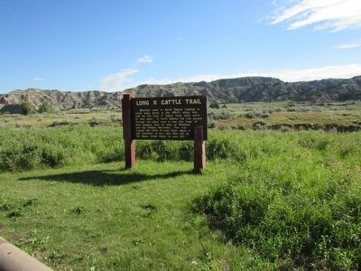
Abundant grass in North Dakota resulted in cattle being driven in the 1880’s along this trail to the Long X Ranch three miles north of this point. In North Dakota the trail passed through the place that is now the town of New England, then on west of Dickinson and the Killdeer Mountains. The trail crossed the Little Missouri River about a mile southeast of here and then led up the Squaw Creek Valley to your left.
Erected by National Park Service.
Topics. This historical marker is listed in these topic lists: Animals • Industry & Commerce • Roads & Vehicles.
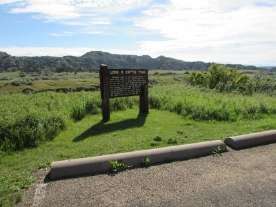
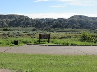
Location. 47° 36.268′ N, 103° 20.675′ W. Marker is in Watford City, North Dakota, in McKenzie County. Marker is on Scenic Drive, on the right when traveling north. Marker is located at the Long X Trail Pullout in the North Unit of Theodore Roosevelt National Park. Touch for map. Marker is in this post office area: Watford City ND 58854, United States of America. Touch for directions.
Other nearby markers. At least 8 other markers are within 3 miles of this marker, measured as the crow flies. North Dakota Badlands (approx. 0.2 miles away); “Cannon Ball” Concretions (approx. 0.8 miles away); The View that Launched a Park (approx. 1.6 miles away); Building From Hard Times (approx. 1.6 miles away); Bentonitic Clay (approx. 2.1 miles away); Slump Formation (approx. 2.1 miles away); Longhorns (approx. 2.7 miles away); Man and Grass (approx. 2.8 miles away). Touch for a list and map of all markers in Watford City.
Credits. This page was last revised on June 16, 2016. It was originally submitted on September 14, 2015, by Bill Coughlin of Woodland Park, New Jersey. This page has been viewed 493 times since then and 29 times this year. Photos: 1, 2, 3, 4. submitted on September 14, 2015, by Bill Coughlin of Woodland Park, New Jersey.


