
Grand Teton National Park in Teton County, Wyoming — The American West (Mountains)
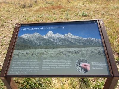
Foundations of a Community
Grand Teton National Park
Photographed by Bill Coughlin, July 27, 2015
1. Foundations of a Community Marker
Geology shapes the ecosystem. Jagged mountains harbor the alpine community and glacial outwash plains support the sagebrush community. Beginning two million years ago, ice-aged glaciers repeatedly covered this landscape carving valley lakes, U-shaped canyons and leveling the valley floor. As these glaciers retreated, meltwater stripped soil from the landscape leaving behind sand, gravel and cobbles.
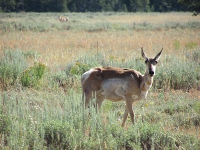
Sagebrush thrives in these rocky, well-drained soils in addition to antelope bitterbrush and many grass species. Arrowleaf balsamroot, lupine and skyrocket gilia add spring color. Small mammals, Greater Sage-Grouse and pronghorn find food and shelter here, while raptors search for prey.
Big sage, Artemisia tridentate, is both a vital and iconic part of this western landscape. Take a moment to touch and smell (but do not pick) the soft, aromatic leaves of a nearby sagebrush plant.
Erected by National Park Service.
Topics. This historical marker is listed in this topic list: Natural Features.
Location. 43° 40.631′ N, 110° 43.468′ W. Marker is in Grand Teton National Park,
this page online

Regionally, this marker is in the Jackson Hole Area and in Greater Yellowstone. It is also in the American Mountain West. Globally, it is in North America, the Rocky Mountains, the Western Hemisphere, the Western World, and the Anglosphere.
Other nearby markers. At least 8 other markers are within 2 miles of this marker, measured as the crow flies: Geologic Drama (a few steps from this marker); A Spiritual Heart in the Park (approx. 1.3 miles away); Walk Back in Time (approx. 1.3 miles away); Making it Last (approx. 1.4 miles away); Staying Cool (approx. 1.4 miles away); “Mean and Menor” (approx. 1.4 miles away); Water Filter (approx. 1.4 miles away); Menor’s Ferry (approx. 1.4 miles away). Touch for a list and map of all markers in Grand Teton National Park.
Photographed by Bill Coughlin, July 27, 2015
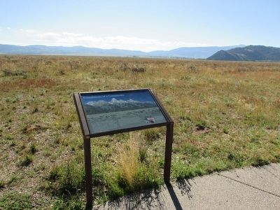
2. Foundations of a Community Marker
Photographed by Bill Coughlin, July 27, 2015
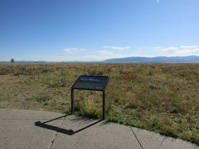
3. Foundations of a Community Marker
Photographed by Bill Coughlin, July 27, 2015
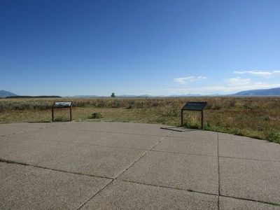
4. Markers in Grand Teton National Park
There are two markers at this location. The Foundations of a Community marker is seen here on the right.
Photographed by Bill Coughlin, July 27, 2015
5. Pronghorn near the Marker
Credits. This page was last revised on November 21, 2024. It was originally submitted on September 16, 2015, by Bill Coughlin of Woodland Park, New Jersey. This page has been viewed 467 times since then and 14 times this year. Photos: 1, 2, 3, 4, 5. submitted on September 16, 2015, by Bill Coughlin of Woodland Park, New Jersey.
