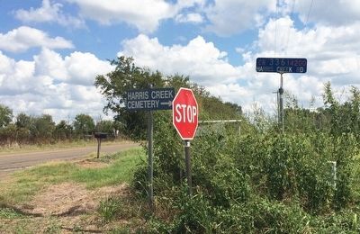
Near Winona in Smith County, Texas — The American South (West South Central)
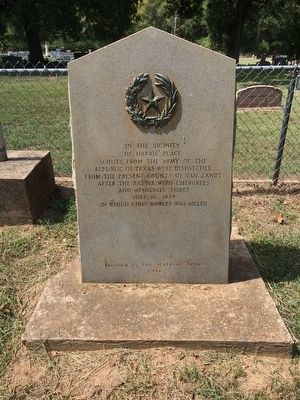
Scouts of Texas Army
of Harris' Place
Scouts from the Army of the
Republic of Texas were dispatched
from the present county of Van Zandt
after the battle with Cherokees
and associate tribes
July 16, 1839
in which Chief Bowles was killed
Erected 1936 by the State of Texas. (Marker Number 7752.)
Topics and series. This historical marker is listed in these topic lists: Native Americans • Settlements & Settlers • Wars, US Indian. In addition, it is included in the Texas 1936 Centennial Markers and Monuments series list. A significant historical year for this entry is 1839.
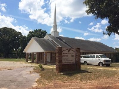
Location. 32° 27.994′ N, 95° 13.022′ W. Marker is near Winona, Texas, in Smith County. Marker is on Harris Creek Church Road (County Road 336) 0.2 miles south of County Road 41, on the right when traveling south. Touch for map. Marker is at or near this postal address: 13720 Harris Creek Church Road, Winona TX 75792, United States of America. Touch for directions.
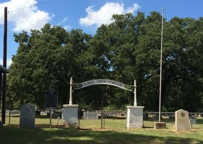
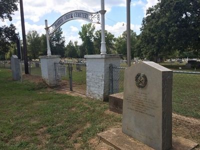
Other nearby markers. At least 8 other markers are within 5 miles of this marker, measured as the crow flies. Harris Creek Cemetery (here, next to this marker); Nicholas Wren 1807-1859 (here, next to this marker); Elisha Everett Lott (approx. 2.4 miles away); Camp Fannin, Texas (approx. 2.9 miles away); Our Land - Our Heritage (approx. 2.9 miles away); First Baptist Church of Winona (approx. 3.3 miles away); Shamburger Cemetery (approx. 4 miles away); The Kay House (approx. 4.1 miles away). Touch for a list and map of all markers in Winona.
Related marker. Click here for another marker that is related to this marker.
Also see . . . Biography of Chief Bowles. (Submitted on September 18, 2015, by Mark Hilton of Montgomery, Alabama.)
Credits. This page was last revised on June 16, 2016. It was originally submitted on September 18, 2015, by Mark Hilton of Montgomery, Alabama. This page has been viewed 533 times since then and 16 times this year. Photos: 1, 2, 3, 4, 5. submitted on September 18, 2015, by Mark Hilton of Montgomery, Alabama.
