
Madisonville in Hopkins County, Kentucky — The American South (East South Central)
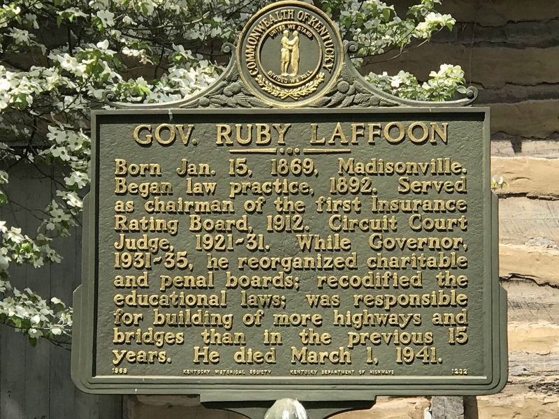
Gov. Ruby Laffoon
Photographed by Duane and Tracy Marsteller, April 25, 2021
1. Gov. Ruby Laffoon Marker
Erected 1969 by the Kentucky Historical Society & the Kentucky Department of Highways. (Marker Number 1232.)
Topics and series. This historical marker is listed in these topic lists: Education • Government & Politics • Roads & Vehicles. In addition, it is included in the Kentucky Historical Society series list. A significant historical year for this entry is 1869.
Location. 37° 19.586′ N, 87° 29.888′ W. Marker is in Madisonville, Kentucky, in Hopkins County. It is on Union Street 0.1 miles north of East Broadway Street, on the left when traveling north. Touch for map. Marker is at or near this postal address: 107 Union Street, Madisonville KY 42431, United States of America. Touch for directions.

Regionally, this marker is in the Tri-State Region
this page online
Other nearby markers. At least 8 other markers are within walking distance of this marker: Courthouse Burned (about 500 feet away, measured in a direct line); County Named, 1806 (about 600 feet away); Turner Ruby House (approx. 0.2 miles away); The Hockersmith House (approx. 0.2 miles away); Carlow's Stone Wall (approx. 0.2 miles away); Chittenden P. Lyon, Jr. House (approx. 0.2 miles away); Dr. Thomas Wright Gardiner House (approx. ¼ mile away); Harvey-Bassett House (approx. 0.4 miles away). Touch for a list and map of all markers in Madisonville.
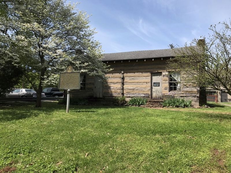
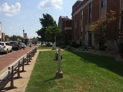
More about this marker. This marker was moved, May of 2013, from the courthouse lawn to a new location next to the Hopkins County Historical Society on Union Street.
The marker pole at the former location is still there, with marker number,
Photographed by Duane and Tracy Marsteller, April 25, 2021
2. Gov. Ruby Laffoon Marker
Marker text obtained from the Kentucky Historical Society website.
Also see . . . Wikipedia article on Governor Ruby Laffoon. (Submitted on September 20, 2015, by Mark Hilton of Montgomery, Alabama.)
Photographed by Mark Hilton, September 1, 2015
3. Gov. Ruby Laffoon Marker pole still at its former location.
Credits. This page was last revised on April 26, 2021. It was originally submitted on September 20, 2015, by Mark Hilton of Montgomery, Alabama. This page has been viewed 1,168 times since then and 218 times this year. Photos: 1, 2. submitted on April 26, 2021, by Duane and Tracy Marsteller of Murfreesboro, Tennessee. 3. submitted on September 20, 2015, by Mark Hilton of Montgomery, Alabama.
