
Clarksville in Montgomery County, Tennessee — The American South (East South Central)
Cave Johnson
1793 - 1866
Photographed by Mark Hilton, August 31, 2015
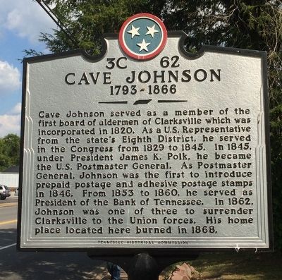
1. Cave Johnson Marker
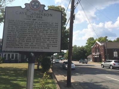
Cave Johnson served as a member of the first board of alderman of Clarksville which was incorporated in 1820. As a U.S. Representative from the state's Eighth District, he served in the Congress from 1829 to 1845. In 1845, under President James K. Polk, he became the U.S. Postmaster General. As Postmaster General, Johnson was the first to introduce prepaid postage and adhesive postage stamps in 1846. From 1853 to 1860, he served as President of the Bank of Tennessee. In 1862, Johnson was one of three to surrender Clarksville to the Union forces. His home place located here burned in 1868.
Erected by Tennessee Historical Commission. (Marker Number 3C 62.)
Topics and series. This historical marker is listed in these topic lists: Government & Politics • Industry & Commerce • War, US Civil. In addition, it is included in the Tennessee Historical Commission series list. A significant historical year for this entry is 1820.
Location. 36° 31.581′ N, 87° 20.842′ W. Marker is in Clarksville, Tennessee, in Montgomery County. It is on Madison Street (Alternate U.S. 41) 0.1 miles east of Greenwood Avenue, on the right
this page online

Regionally, this marker is in Middle Tennessee and in the Highland Rim. It is also in the American South and specifically in the Upper South. Globally, it is in North America, the Western Hemisphere, the Western World, and the Anglosphere. Historically, it finds itself in what was once the territory of the Mississippian Culture, one of the Confederate States of America, and the Antebellum South.
Other nearby markers. At least 8 other markers are within walking distance of this marker: Catholic Church and Rectory (approx. ¼ mile away); Bailey Cobb Elementary School (approx. 0.3 miles away); St. John Missionary Baptist Church (approx. 0.3 miles away); St. Peter African Methodist Church (approx. 0.4 miles away); Robert Loftin Newman (approx. 0.4 miles away); Archwood (approx. half a mile away); Madison Street Methodist Church (approx. half a mile away); Recapture of Clarksville (approx. half a mile away). Touch for a list and map of all markers in Clarksville.
Also see . . . Cave Johnson biography.
Photographed by Mark Hilton, August 31, 2015
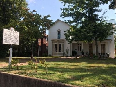
2. Former location of Cave Johnson's home.
Public domain
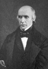
3. Cave Johnson
Photographed by Mark Hilton, August 31, 2015
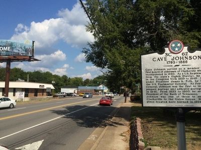
4. View of marker looking east on Madison Street.
Photographed by Mark Hilton, August 31, 2015
5. View of marker looking west towards downtown Clarksville.
Credits. This page was last revised on June 3, 2021. It was originally submitted on September 22, 2015, by Mark Hilton of Montgomery, Alabama. This page has been viewed 1,111 times since then and 40 times this year. Photos: 1, 2, 3, 4, 5. submitted on September 22, 2015, by Mark Hilton of Montgomery, Alabama.
