
Mammoth in Yellowstone National Park in Park County, Wyoming — The American West (Mountains)
Black Sand Basin
Photographed by Bill Coughlin, August 1, 2015
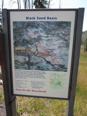
1. Black Sand Basin Marker
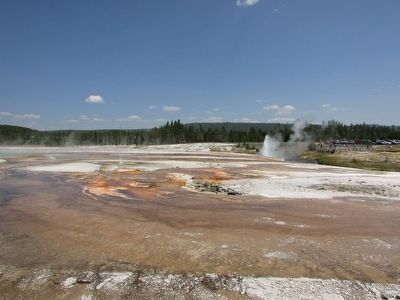
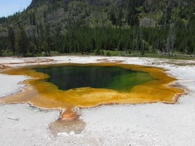
Black obsidian (volcanic glass) “sand” gives this geyser basin its name. Oranges, greens, and other colors in and around the hot springs come from thermophiles (heat-loving microorganisms). While you walk the trail, watch for one of Cliff Geyser’s frequent eruptions. The fully accessible trail is about ¼ mile (0.4 km) long.
Erected by National Park Service.
Topics. This historical marker is listed in this topic list: Natural Features.
Location. 44° 27.727′ N, 110° 51.213′ W. Marker is in Yellowstone National Park, Wyoming, in Park County. It is in Mammoth. It can be reached from Lower Grand Loop Road, on the right when traveling south. Touch for map. Marker is in this post office area: Yellowstone National Park WY 82190, United States of America. Touch for directions.

Regionally, this marker is in the Bighorn Basin and in Greater Yellowstone. It is also in the American Mountain West and in the Lewis & Clark Corridor. Globally, it is in North America, the Rocky Mountains, the Western Hemisphere, the Western World, and the Anglosphere.
Other nearby markers. At
this page online
More about this marker. A map at the top of the map shows the location of the marker as well as Emerald Pool, Rainbow Pool, Cliff Geyser and Sunset Lake.
Photographed by Bill Coughlin, August 1, 2015
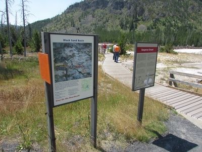
2. Black Sand Basin Marker
Photographed by Bill Coughlin, August 1, 2015
3. Black Sand Basin
Photographed by Bill Coughlin, August 1, 2015
4. Emerald Pool
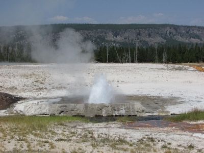
Photographed by Bill Coughlin, August 1, 2015
5. Cliff Geyser
Credits. This page was last revised on February 16, 2023. It was originally submitted on September 22, 2015, by Bill Coughlin of Woodland Park, New Jersey. This page has been viewed 534 times since then and 21 times this year. Photos: 1, 2, 3, 4, 5. submitted on September 22, 2015, by Bill Coughlin of Woodland Park, New Jersey.
