Mammoth in Yellowstone National Park in Park County, Wyoming — The American West (Mountains)
The Land Tells the Story
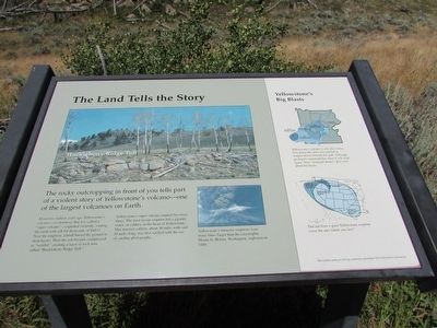
The rocky outcropping in front of you tells part of a violent story of Yellowstone’s volcano – one of the largest volcanoes on Earth.
About two million years ago Yellowstone’s volcano – so enormous that it is called a “super volcano” – exploded violently, coating the earth with ash for thousands of miles! Near the eruption, ashfall buried the ground in deep layers. Then the ash became compressed or “welded,” creating a layer of rock now called “Huckleberry Ridge Tuff.”
Yellowstone’s super volcano erupted two more times. The most recent eruption left a gigantic crater, or caldera, in the heart of Yellowstone. This massive caldera, about 30 miles wide and 45 miles long, was first verified with the use of satellite photography.
Yellowstone’s immense eruptions were many times larger than the catastrophic Mount St. Helens, Washington, explosion in 1980.
< Sidebar : >
Yellowstone’s Big Blasts
Yellowstone’s volcano is still alive today. Two dome-like areas rise and fall as magma moves beneath the park. Although geologists cannot predict when it will erupt again, these “resurgent domes” gives clues about the future.
Did ash from a giant Yellowstone eruption cover where you live?
Erected by National Park Service.
Topics. This historical marker is listed in this topic list: Natural Features.
Location. 44° 57.655′ N, 110° 34.053′ W. Marker is in Yellowstone National Park, Wyoming, in Park County. It is in Mammoth. Marker can be reached from Upper Grand Loop Road, on the right when traveling west. Marker is located on the Forces of the Northern Range Trail. Touch for map. Marker is in this post office area: Yellowstone National Park WY 82190, United States of America. Touch for directions.
Other nearby markers. At least 8 other markers are within walking distance of this marker. What’s Blooming? (within shouting distance of this marker); Trembling Aspens (within shouting distance of this marker); Seasons of the Range (about 300 feet away, measured in a direct line); Glacial Boulder (about 300 feet away); A Wildlife Paradise (about 300 feet away); Fire – A Fundamental Force (about 400 feet away); Wolf Tracks (about 400 feet away); The Forest that Needs Fire (about 500 feet away). Touch for a list and map of all markers in Yellowstone National Park.
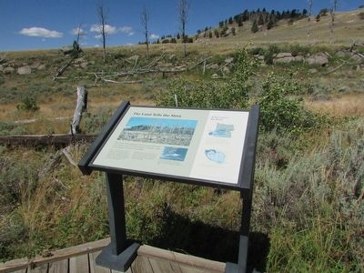
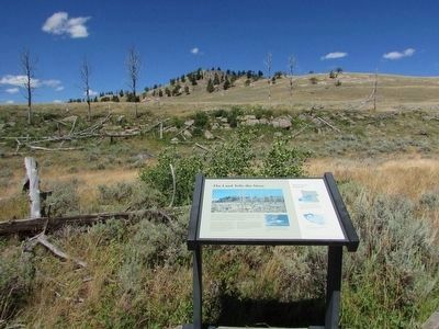
More about this marker. A picture of Huckleberry Ridge Tuff appears at the top of the marker. Below this is a photo of an erupting Mount St. Helens. The sidebar contains a map of Yellowstone indicating the locations of the calderas from its eruptions. A second map of the western United States shows the extent of the ashfall from Mount St. Helens and the two Yellowstone eruptions.
Credits. This page was last revised on February 16, 2023. It was originally submitted on September 23, 2015, by Bill Coughlin of Woodland Park, New Jersey. This page has been viewed 288 times since then and 5 times this year. Photos: 1, 2, 3, 4, 5. submitted on September 23, 2015, by Bill Coughlin of Woodland Park, New Jersey.
