Fort Gratiot in St. Clair County, Michigan — The American Midwest (Great Lakes)
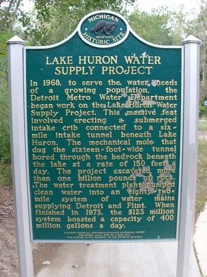
Lake Huron Water Supply Project
⎯⎯⎯
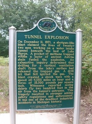
Tunnel Explosion
Registered Michigan Historic Site
Photographed by Joel S., September 19, 2015
1. Lake Huron Water Supply Project/Tunnel Explosion Marker
this page online
Erected 2011 by Michigan Historical Commission - Michigan Historical Center. (Marker Number L2219.)
Topics and series. This historical marker is listed in these topic lists: Bridges & Viaducts • Disasters • Industry & Commerce • Waterways & Vessels. In addition, it is included in the Lost at Sea, and the Michigan Historical Commission series lists. A significant historical date for this entry is December 11, 1971.
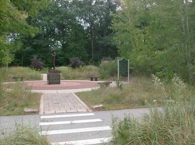
Location. 43° 4.928′ N, 82° 28.201′ W. Marker is in Fort Gratiot, Michigan, in St. Clair County. It is on Park Road east of Michigan Highway 25, in the median. The marker is in Fort Gratiot County Park. The entrance to the park is about 0.1 mile east of M-25 on Metcalf Road. The park road is unnamed, but is a loop, with the marker about 0.3 miles into the park. In season, and on certain off-season weekends and holidays, there is a $20 charge to enter the park where this marker is located—unless you are a resident of St. Clair County.
Photographed by Joel S., September 19, 2015
2. Lake Huron Water Supply Project/Tunnel Explosion Marker

Regionally, this marker is in Southeast Michigan and in one of the Lake Huron Shore counties. It is also in the American Midwest. Globally, it is in North America, on the Great Lakes, in the Western Hemisphere, in the Western World, and in the Anglosphere. Historically, it finds itself in what was once the Northwest Territory.
Other nearby markers. At least 8 other markers are within 6 miles of this marker, measured as the crow flies: The 1971 Water Tunnel Explosion Memorial (here, next to this marker); What Lies Beneath (within shouting distance of this marker); Seeing the Light (approx. 5.7 miles away); The Storm (approx. 5.7 miles away); Learning from Lake Huron (approx. 5.7 miles away); Sending a Signal (approx. 5.7 miles away); Keepers Duties (approx. 5.7 miles away); Fort Gratiot Light (approx. 5.7 miles away). Touch for a list and map of all markers in Fort Gratiot.
Also see . . . 50th anniversary of Port Huron water tunnel explosion. Sarnia News Today website
Photographed by Joel S., September 19, 2015
3. Lake Huron Water Supply Project/Tunnel Explosion Marker
Credits. This page was last revised on August 5, 2025. It was originally submitted on September 24, 2015, by Joel Seewald of Madison Heights, Michigan. This page has been viewed 1,842 times since then and 198 times this year. Photos: 1, 2, 3. submitted on September 24, 2015, by Joel Seewald of Madison Heights, Michigan.
