Rocky Mountain National Park in Grand County, Colorado — The American Mountains (Southwest)
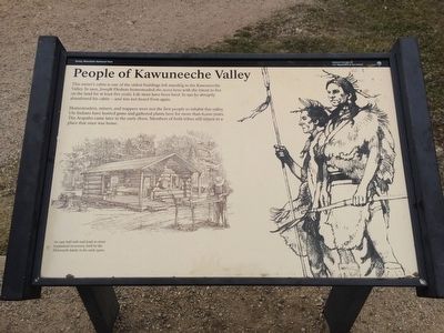
People of Kawuneeche Valley
Homesteaders, miners, and trappers were not the first people to inhabit this valley. Ute Indians have hunted game and gathered plants here for more than 6,000 years. The Arapaho came later in the early 1800s. Members of both tribes still return to a place that once was home.
Erected by National Park Service.
Topics. This historical marker is listed in these topic lists: Native Americans • Settlements & Settlers. A significant historical year for this entry is 1902.
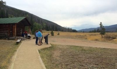
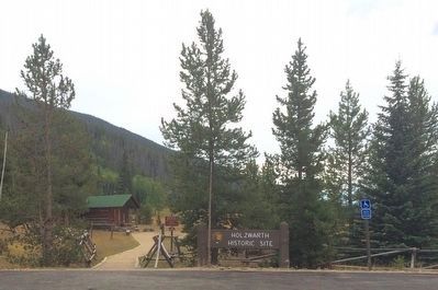
Location. 40° 22.338′ N, 105° 51.266′ W. Marker is in Rocky Mountain National Park, Colorado, in Grand County. Marker can be reached from the intersection of Trail Ridge Road (U.S. 34) and Ditch Road, on the right when traveling south. Located at the Holzwarth Historic Site pullout on the west side of Trail Ridge Road. Touch for map. Marker is at or near this postal address: 20631 Trail Ridge Road, Grand Lake CO 80447, United States of America. Touch for directions.
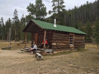
Other nearby markers. At least 8 other markers are within 8 miles of this marker, measured as the crow flies. Never Summer Ranch (about 600 feet away, measured in a direct line); Moose (approx. 0.2 miles away); Holzwarth Trout Lodge 1920-29 (approx. 0.4 miles away); Continental Divide (approx. 4 miles away); Gore Range (approx. 6.2 miles away); Trail Ridge Road at Rock Cut (approx. 7 miles away); Old Fall River Road (approx. 7.1 miles away); The East Troublesome Fire (approx. 7.4 miles away). Touch for a list and map of all markers in Rocky Mountain National Park.
Also see . . .
1. Wikipedia article on the Kawuneeche_Valley. (Submitted on September 27, 2015, by Mark Hilton of Montgomery, Alabama.)
2. Loveland Reporter Herald article on Kawuneeche Valley visitors. (Submitted on September 27, 2015, by Mark Hilton of Montgomery, Alabama.)
Credits. This page was last revised on June 16, 2016. It was originally submitted on September 27, 2015, by Mark Hilton of Montgomery, Alabama. This page has been viewed 778 times since then and 22 times this year. Photos: 1, 2, 3, 4. submitted on September 27, 2015, by Mark Hilton of Montgomery, Alabama.


